Eastern Region · Iceland
Oxi Pass
939Berufjordur to Skriddalur
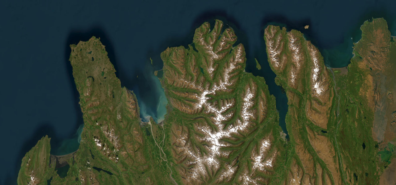
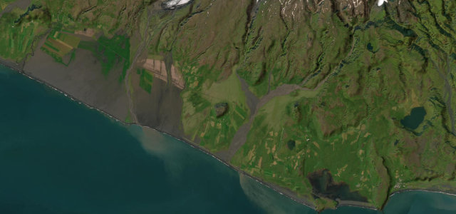
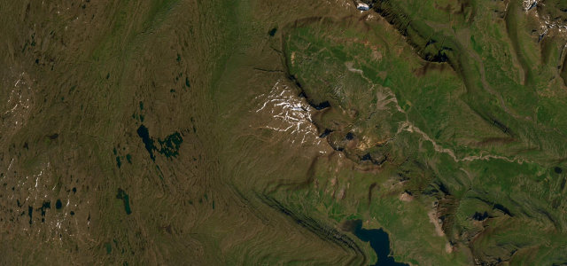
Route 939, the steep gravel Oxi Pass over the Oxi heath, a white-knuckle shortcut across the mountains in east Iceland.
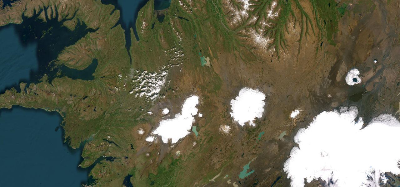
Oxi Pass, Route 939 or Axarvegur, is a narrow unpaved mountain road that cuts across the highlands between the head of Berufjordur and the Skriddalur valley near Egilsstadir, slicing the coastal Ring Road distance roughly in half. It is a dramatic gravel pass climbing to around 530 metres with gradients reaching close to 20 percent, blind crests and sheer drops, and it rewards the brave with vast, empty highland views. A 4x4 is not strictly required but the surface is potholed, the edges are unguarded and the road is open only in summer, closing entirely in winter. Mind the steep loose gravel gradients, unguarded drops on blind bends, and the summer-only seasonal closure.
Scenery
Best seasons
In these collections
In these Grand Tours
In these guides
Where it runs12.7 mi · point to point
Navigate to the start: Apple Maps · Google Maps
Character
Steeper than 9 in 10 roads here in the catalogue.
Corners
busiest around mile 5Elevation
under 4%4–8%over 8%71.4 – 597.7 mPoints of interest2 stops
- ÖxiViewpoint7.2 mi in
- HænubrekkufossLandmark4.7 mi in
Hazards
- Steep loose gravel gradients
- Unguarded drops on blind bends
- Summer-only seasonal closure
Sources
“It's very steep, hitting a 20% maximum gradient through some of the ramps.”
Verified route: mapped from real road geometry and fact-checked by a human editor. How roads get checked
Driving the Oxi Pass: quick answers
How long does it take to drive the Oxi Pass?
How difficult is the Oxi Pass to drive?
When is the best time to drive the Oxi Pass?
Is the Oxi Pass fully paved?
Nearby roads
The closest great drives to Oxi Pass.