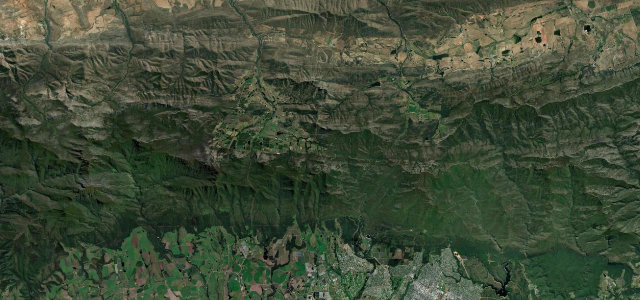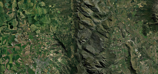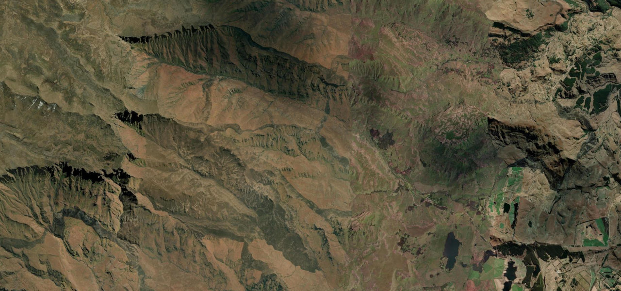
Drakensberg, KwaZulu-Natal · South Africa
Sani Pass
P318Himeville to Sani Top (Lesotho border)
The legendary gravel climb from KwaZulu-Natal up the Drakensberg Escarpment into Lesotho, South Africa’s highest motor pass at 2,876 m, with 13 hairpins, gradients to 1:3 and sheer drops.
The road heads west from Himeville across the foothills before the surface turns to gravel at the Sani Pass Hotel, where the serious climbing begins. It ascends about 1,300 m through hairpin bends carved into the Escarpment face, each turn opening wider views down the Mkhomazana valley, narrowing near the top to vertiginous drops. At the summit sit the border posts and the highest pub in Africa; the descent demands low-range gearing throughout.
The mother of all South African passes, a 4x4-only gravel climb up the Drakensberg wall into Lesotho with the highest pub in Africa waiting at the top.
Why we picked it
Scenery
Best seasons
In these collections
In these guides
Sani Pass on the map16.7 mi · point to point
Navigate to the start: Apple Maps · Google Maps
Character
Steeper than 9 in 10 roads here · higher than 9 in 10 roads in the catalogue.
Corners
busiest around mile 16Elevation
under 4%4–8%over 8%1,544.3 – 2,875.8 mPoints of interest3 stops
- Sani PassViewpoint16 mi in
- Mizno’s viewViewpoint14 mi in
- Mkhomazana WaterfallLandmark2.6 mi in
Hazards
- 4x4 mandatory
- Thirteen hairpin bends, several requiring three-point turns
- Gradients up to 1:3 (33%) on the upper section
- Loose gravel and deep ruts after rain
- Vertical cliff drops with no barriers
- Snow and ice possible any month at the summit
- Border post closes at 18:00
See the typical season and live conditions for the high passes ›
Sources
“Sani Pass is the mother of all South African mountain passes.”
Verified route: mapped from real road geometry and fact-checked by a human editor. How roads get checked
Driving the Sani Pass: quick answers
How long does it take to drive the Sani Pass?
How difficult is the Sani Pass to drive?
When is the best time to drive the Sani Pass?
Is the Sani Pass fully paved?
Nearby roads
The closest great drives to Sani Pass.