Western Cape · South Africa
Swartberg Pass
R328Oudtshoorn to Prince Albert
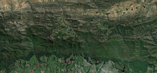
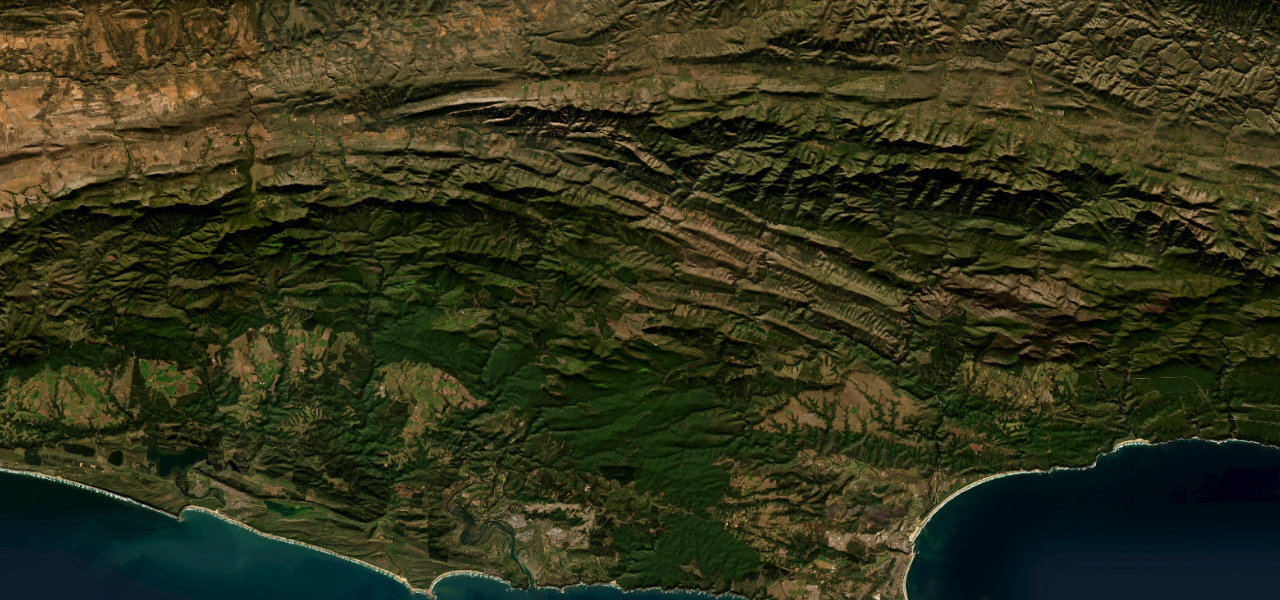
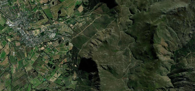
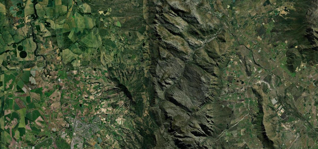
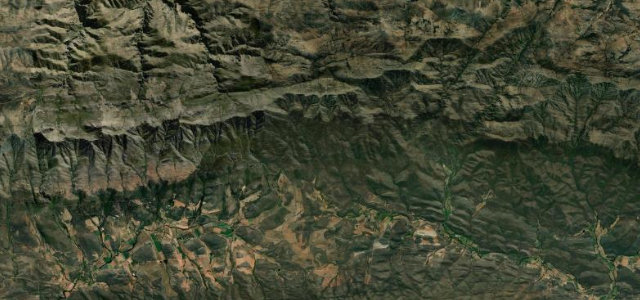
Thomas Bain’s 1888 masterpiece, 27 km of gravel switchbacks held up by dry-stone retaining walls, climbing to about 1,585 m between two karoos. It’s a national monument you’re allowed to drive, and in dry weather an ordinary car will manage it.
This 27 km unpaved pass climbs to about 1,585 m between Oudtshoorn and Prince Albert, a national monument built by Thomas Bain and opened in 1888. Its dry-stone retaining walls and tight switchbacks make it one of South Africa’s most celebrated drives, normally driveable in a regular car in dry weather. Mind the loose gravel surface, blind hairpins and closures after rain or snow.
A gravel ribbon stitched into folded stone, where every hairpin opens onto raw cliffs and the Karoo far below. Take it slow and the rhythm finds you.
Why we picked it
Scenery
Best seasons
In these collections
In these guides
Where it runs17.8 mi · point to point
Navigate to the start: Apple Maps · Google Maps
Character
Corners
busiest around mile 14Elevation
under 4%4–8%over 8%599.3 – 1,570.5 mPoints of interest3 stops
- SkelmdraaiViewpoint12 mi in
- Die TopViewpoint14 mi in
- TeebergViewpoint17 mi in
Hazards
- Loose gravel surface
- Blind switchbacks
- Closes after rain or snow
See the typical season and live conditions for the high passes ›
Sources
“the rubicon of gravel road passes”
Verified route: mapped from real road geometry and fact-checked by a human editor. How roads get checked
Driving the Swartberg Pass: quick answers
How long does it take to drive the Swartberg Pass?
How difficult is the Swartberg Pass to drive?
When is the best time to drive the Swartberg Pass?
Is the Swartberg Pass fully paved?
Nearby roads
The closest great drives to Swartberg Pass.