Western Cape · South Africa
Chapman's Peak Drive
M6Hout Bay to Noordhoek
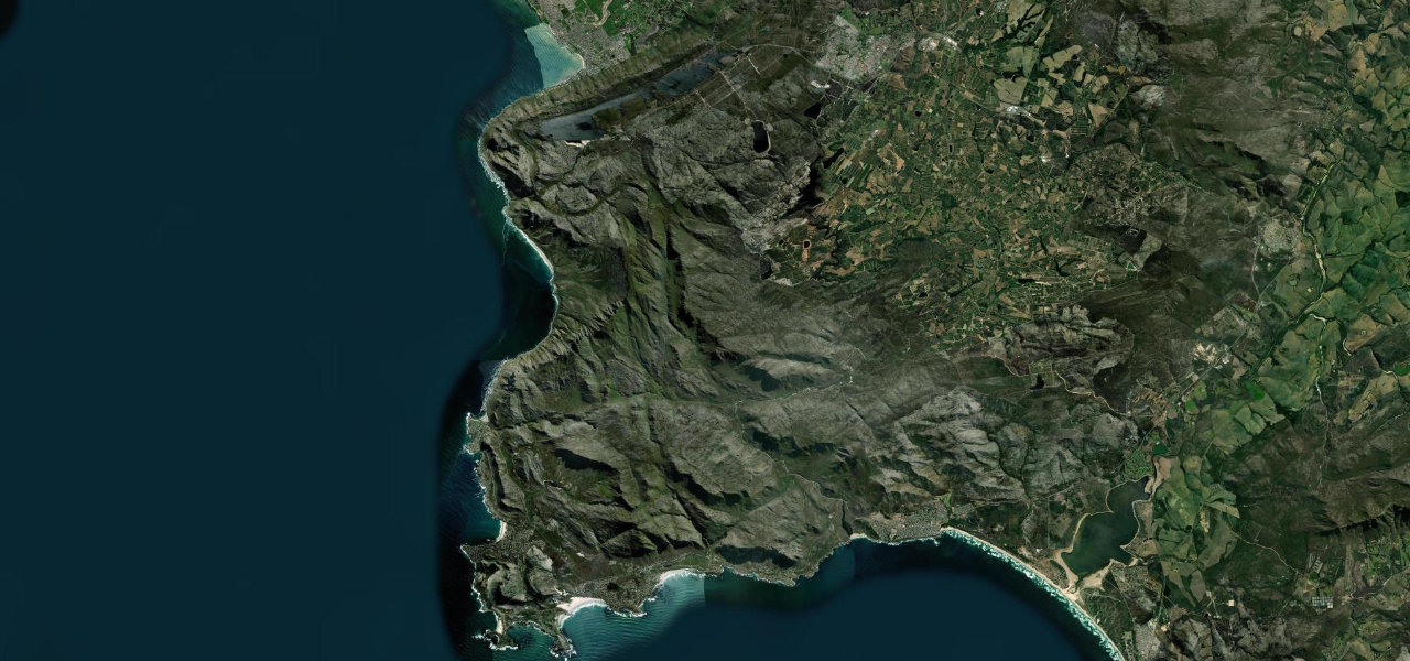
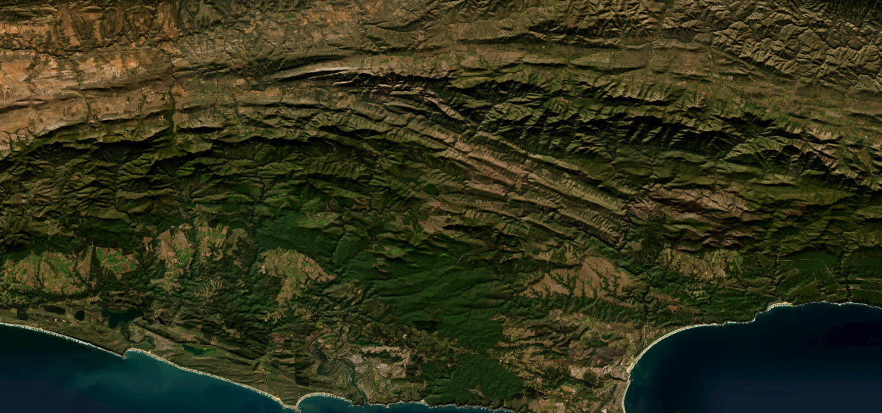
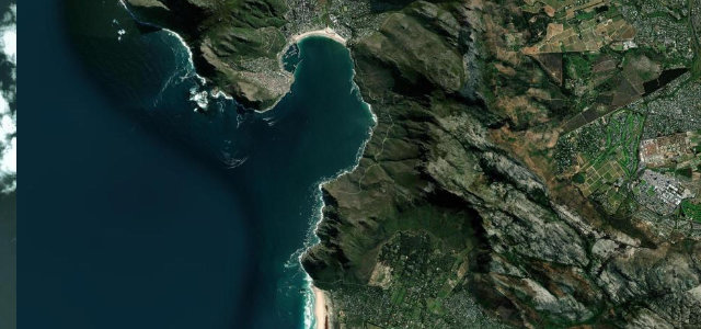
Nine kilometres carved into the near-vertical face of Chapman’s Peak, the Atlantic straight below and 114 bends between Hout Bay and Noordhoek. The catch nets and rock canopy tell you exactly what kind of road this is.
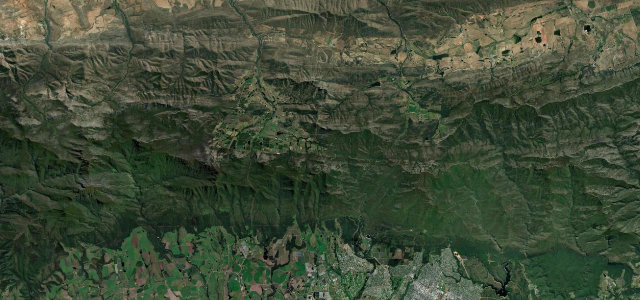
This 9 km toll road links Hout Bay and Noordhoek, hugging the near-vertical face of Chapman’s Peak above the Atlantic. Cut into the mountain between 1915 and 1922, it winds through 114 bends, with catch nets, a 155-metre half-tunnel and a cantilevered rock canopy guarding against rockfall. Mind the falling rock, cyclists and weather closures.
Carved into the cliff face between Hout Bay and Noordhoek, the Atlantic falling away beside you and the bends hugging the rock so close you could almost touch it.
Why we picked it
Scenery
Best seasons
In these collections
Where it runs5.9 mi · point to point
Navigate to the start: Apple Maps · Google Maps
Character
Corners
busiest around mile 1Elevation
under 4%4–8%over 8%17.3 – 183.5 mPoints of interest3 stops
- Chapman’s Peak View PointViewpoint3.2 mi in
- Chapman’s PeakViewpoint3.8 mi in
- Old manganese mineLandmark0.2 mi in
Hazards
- Rockfall and slides
- Cyclists and pedestrians
- Toll gate and closures
- Frequently closed at short notice for rockfall, wind or maintenance; check the official status before you go
See the typical season and live conditions for the high passes ›
Sources
“one of the world's most spectacular coastal drives”
Verified route: mapped from real road geometry and fact-checked by a human editor. How roads get checked
Driving the Chapman's Peak Drive: quick answers
How long does it take to drive the Chapman's Peak Drive?
How difficult is the Chapman's Peak Drive to drive?
When is the best time to drive the Chapman's Peak Drive?
Is there a toll on the Chapman's Peak Drive?
Nearby roads
The closest great drives to Chapman's Peak Drive.