Western Cape · South Africa
Outeniqua Pass
N9N12George to Oudtshoorn
Fast tarred pass linking George to the Karoo.
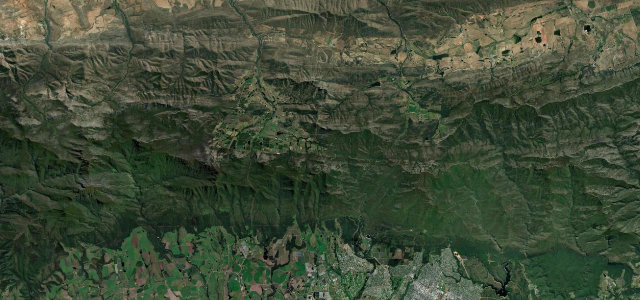
Carrying the N9/N12 over the Outeniqua Mountains, this 13 km pass climbs to about 800 m between George and the Little Karoo near Oudtshoorn. Built between 1943 and 1951 as an alternative to the old Montagu Pass, it sweeps through roughly 40 bends, many exceeding 90 degrees. Mind the heavy trucks, dense mist and reduced visibility.
Scenery
MountainValleyForest
Best seasons
SpringSummerAutumnWinter
In these collections
Where it runs14.6 mi · point to point
GeorgeStart · Western Cape
OudtshoornEnd · Western Cape
Navigate to the start: Apple Maps · Google Maps
Character
Corners40bends
Tightness5of 10
Max gradient10%≈ 1-in-10
Climb653 mtotal ascent
Summit804.2 mhighest point of the line · 2,638 ft
Corners
busiest around mile 5Elevation
under 4%4–8%over 8%221.9 – 804.2 mPoints of interest3 stops
- 4 PassesViewpoint4.5 mi in
- Outeniqua PassViewpoint6.8 mi in
- TolbergViewpoint4.6 mi in
Hazards
- Heavy commercial traffic
- Mountain mist
- Wet road in rain
Sources
“At the viewpoints, you can see over George all the way to the Indian Ocean, so better choose a clear day to complete the drive.”
Verified route: mapped from real road geometry and fact-checked by a human editor. How roads get checked
Driving the Outeniqua Pass: quick answers
How long does it take to drive the Outeniqua Pass?
Outeniqua Pass runs 14.6 miles (23 km) and takes about 29 min to drive without stops.
How difficult is the Outeniqua Pass to drive?
We rate it moderate: 40 corners, a maximum gradient of 10%, and a tightness of 5 out of 10.
When is the best time to drive the Outeniqua Pass?
Spring and Summer and Autumn and Winter are best.
Nearby roads
The closest great drives to Outeniqua Pass.
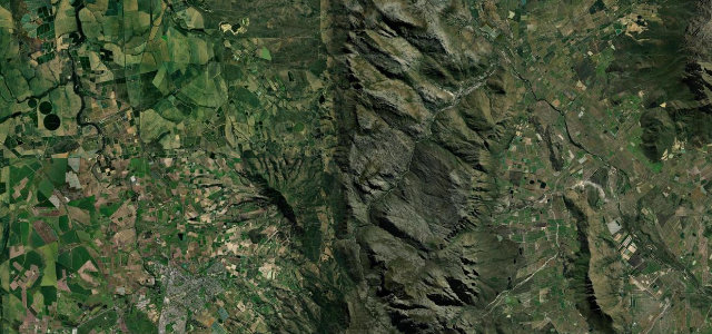
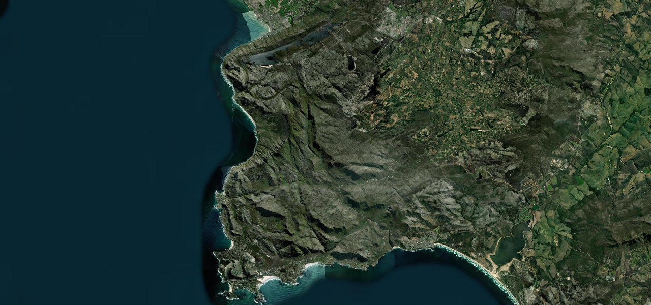
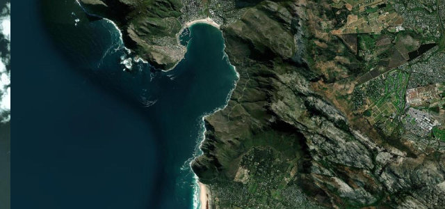
Outeniqua Pass
DirectionsGet the app