Western Cape · South Africa
Garden Route, Wilderness to Knysna
N2Wilderness to Knysna
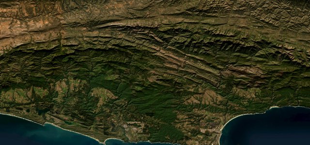
The N2 through the Garden Route’s lake district, dropping to cross the Swartvlei estuary into Sedgefield, climbing out of the Goukamma valley through forest and crossing the Knysna River into town.
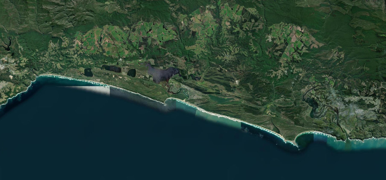
From the George Road junction in Wilderness the N2 runs east behind Wilderness Beach, through the Wilderness section of the Garden Route National Park with its coastal rivers and lakes. At Swartvleihoogte it descends 115 m over 5.4 km, at up to 1:10, to cross the Swartvlei estuary on a low bridge into Sedgefield, where three markets run on Saturdays. Beyond the town it passes Groenvlei in the Goukamma Nature Reserve, then makes a long, steep climb out of the Goukamma valley at up to 1:11 between forest and pine plantations. It crosses the Knysna River on the White Bridge and follows the estuary into the centre of Knysna. SANRAL is rebuilding this stretch, including turning five intersections into traffic circles; the work was due to finish in May 2028 and is now expected to take longer.
Scenery
Best seasons
In these collections
In these Grand Tours
Garden Route, Wilderness to Knysna on the map29.0 mi · point to point
Navigate to the start: Apple Maps · Google Maps
Character
Corners
busiest around mile 26Elevation
under 4%4 to 8%over 8%0 to 164 mPoints of interest6 stops
- Wilderness BeachLong beach of pale sand running beside the road just east of Wilderness village.1.1 mi in
- SwartvleiThe longest and deepest of the Wilderness lakes, crossed by the N2 on a low bridge at its estuary.11 mi in
- Wild Oats Community Farmers’ MarketOne of Sedgefield’s three Saturday markets, known for breakfast under the trees.12 mi in
- GroenvleiLake in the Goukamma Nature Reserve with no inflowing rivers and only an underground link to the sea.17 mi in
- White BridgeWhere the N2 crosses the Knysna River on the way into town.25 mi in
- Knysna WaterfrontLagoon-side quays with seafood restaurants, including 34 South for oysters.29 mi in
Hazards
- Roadworks from Wilderness to Knysna, due to run past 2028
- Lane closures and reduced speed limits around Wilderness until late 2026
- Overtaking difficult on the Swartvlei descent
See the typical season and live conditions for the high passes ›
Sources
“One of the world’s great coastal drives, the Garden Route offers food, adventure, culture and beach time in equal measure.”
“An easy tarred pass on the N2 between Wilderness in the west and Sedgefield in the east, offering sweeping views over Swartvlei”
“The scenery is fabulous as this is in the very heart of the Garden Route with forest and heather clad green hills topped off with tall pine forests and onyx coloured rivers.”
Route traced from OpenStreetMap, with its stats measured from that line. How the roads are mapped
Driving the Garden Route, Wilderness to Knysna: quick answers
How long does it take to drive the Garden Route, Wilderness to Knysna?
How difficult is the Garden Route, Wilderness to Knysna to drive?
When is the best time to drive the Garden Route, Wilderness to Knysna?
Nearby roads
The closest great drives to Garden Route, Wilderness to Knysna.