Western Cape · South Africa
Franschhoek Pass
R45Franschhoek to Villiersdorp
South Africa’s first properly engineered mountain road.
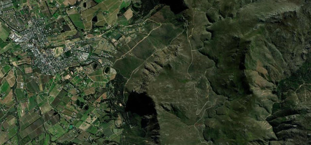
The R45 climbs out of the Franschhoek winelands over Hell’s Nek toward Villiersdorp, reaching a summit around 736 m. Built between 1822 and 1825 under Major Holloway, it was South Africa’s first properly engineered pass and turns through several hairpins on its ascent. Mind the tight hairpins, baboons and sudden mountain mist.
Where it runs5.1 mi · point to point
FranschhoekStart · Western Cape
VilliersdorpEnd · Western Cape
Navigate to the start: Apple Maps · Google Maps
Character
Corners44bends
Tightness6of 10
Max gradient10%≈ 1-in-10
Hairpins1tight bends
Climb390 mtotal ascent
Summit739.6 mhighest point of the line · 2,427 ft
Corners
busiest around mile 3Elevation
under 4%4–8%over 8%350.1 – 739.6 mPoints of interest2 stops
- Franschhoek PassViewpoint3.7 mi in
- MiddagkransbergViewpoint1.9 mi in
Hazards
- Hairpin bends
- Baboons on the road
- Mist and ice in winter
Sources
“the Franschhoek Pass serves up tight corners, steep ascents, and panoramic views of the wine valley below”
Verified route: mapped from real road geometry and fact-checked by a human editor. How roads get checked
Driving the Franschhoek Pass: quick answers
How long does it take to drive the Franschhoek Pass?
Franschhoek Pass runs 5.1 miles (8.2 km) and takes about 11 min to drive without stops.
How difficult is the Franschhoek Pass to drive?
We rate it moderate: 44 corners including 1 hairpins, a maximum gradient of 10%, and a tightness of 6 out of 10.
When is the best time to drive the Franschhoek Pass?
Spring and Summer and Autumn are best.
Nearby roads
The closest great drives to Franschhoek Pass.
Franschhoek Pass
DirectionsGet the app