Western Cape · South Africa
Route 62
R62Montagu to Oudtshoorn
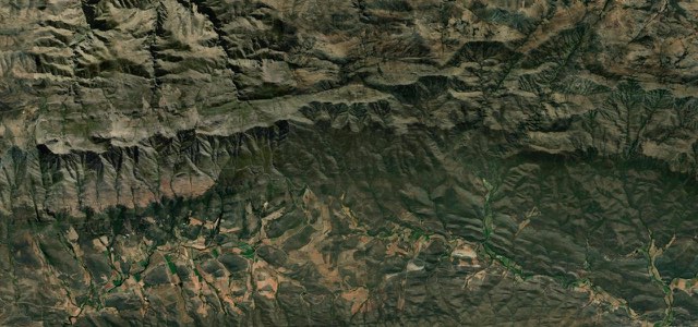
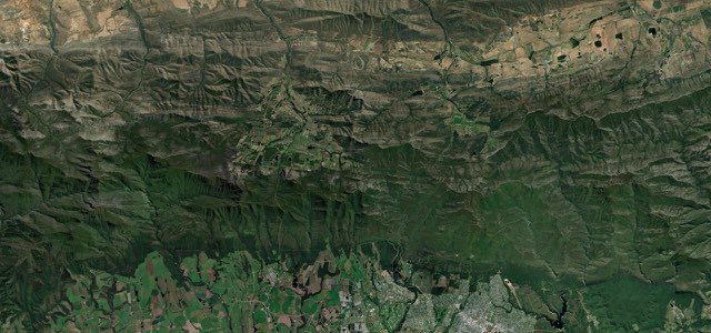
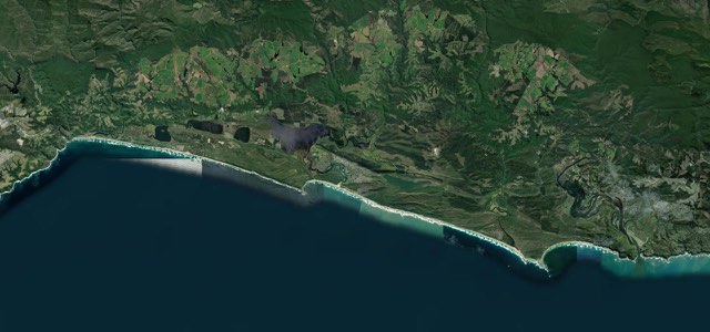
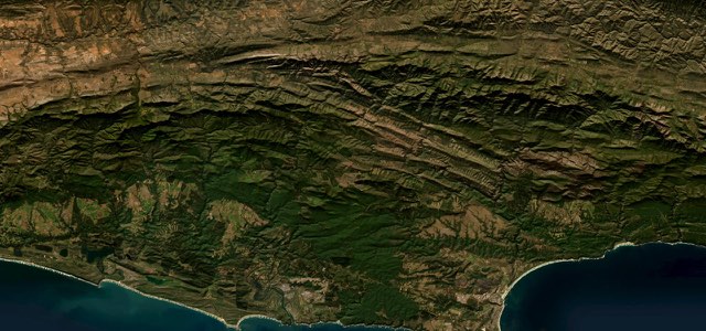
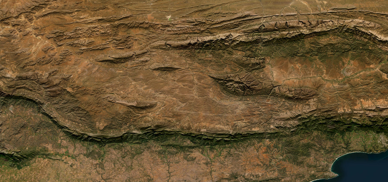
About 230 km of the R62 across the Klein Karoo, from Montagu along the Langeberg foothills to Barrydale and Ladismith, then over the 39 bends of the Huisrivier Pass to Calitzdorp and Oudtshoorn.
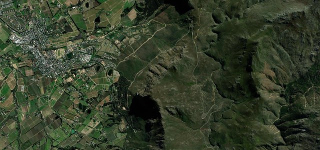
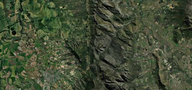
From the Talana Road junction on the eastern edge of Montagu, the R62 follows the northern foothills of the Langeberg to Barrydale, less than 70 km on, then heads north-east across the Klein Karoo past Ronnies Sex Shop to Ladismith. From there it runs east along the Swartberg past the mission villages of Zoar and Amalienstein, at the entrance to Seweweekspoort. The Huisrivier Pass follows: 13.4 km with 39 bends and three river crossings, gradients held to about 1:12, and concrete catch walls and nets against rockfall on unusually unstable ground. Beyond it the road passes Calitzdorp, known for its port wines, and the Bella de Karoo farm stall before reaching Oudtshoorn, the largest town in the Klein Karoo. Trucks use the pass and overtaking is not always possible, so be ready to wait behind them.
Scenery
Best seasons
In these collections
In these Grand Tours
In these guides
Route 62 on the map144.2 mi · point to point
Navigate to the start: Apple Maps · Google Maps
Character
Corners
busiest around mile 106Elevation
under 4%4 to 8%over 8%227 to 732 mPoints of interest5 stops
- Ronnies Sex ShopRoadside pub on a remote stretch between Barrydale and Ladismith, named after friends added ‘Sex’ to Ronnie Price’s shop sign.53 mi in
- AmaliensteinFormer Berlin Missionary Society station east of Ladismith, its church complex completed in 1853.98 mi in
- Huisrivier PassViewpoint on the 13.4 km pass, which packs 39 bends and three river crossings between Ladismith and Calitzdorp.107 mi in
- CalitzdorpSmall town under the Swartberg, the place to buy the Klein Karoo’s port wines.114 mi in
- Bella de KarooFarm stall on the run into Oudtshoorn, recommended by Karoo Space for its breakfasts.127 mi in
Hazards
- Heavy trucks on the Huisrivier Pass, overtaking difficult
- Rockfall on the Huisrivier Pass after heavy rain
- Wildfire closures near Montagu in dry weather
See the typical season and live conditions for the high passes ›
Sources
“The perfectly banked corners will be a joy to ride on a motorcycle.”
“The tarred R62 is a scenic drive”
“offering the shorter, scenic alternative to the N2 highway.”
Route traced from OpenStreetMap, with its stats measured from that line. How the roads are mapped
Driving the Route 62: quick answers
How long does it take to drive the Route 62?
How difficult is the Route 62 to drive?
When is the best time to drive the Route 62?
Nearby roads
The closest great drives to Route 62.