Collection

Wine Country Roads

Through the vineyards, from the Rhine and Mosel to Chianti and Margaret River

Roads9 
Combined359 mi578 km of driving
Across7countries
High point732 m2,402 ft

The roads
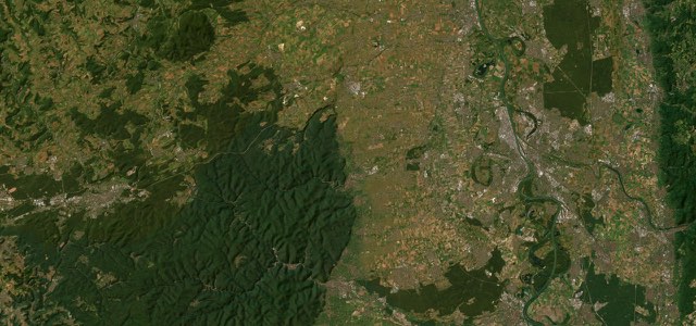
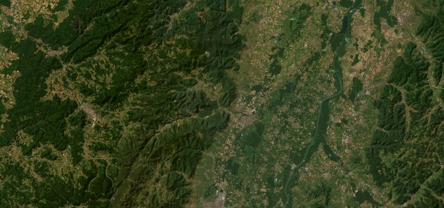
Satellite map of Deutsche Weinstraße, Germany

Deutsche Weinstraße

B271Germany

21 mi · 36 min · 15 corners

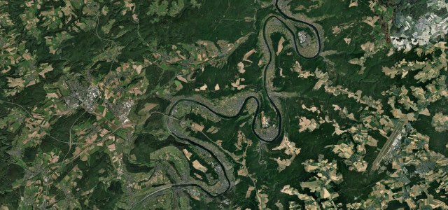
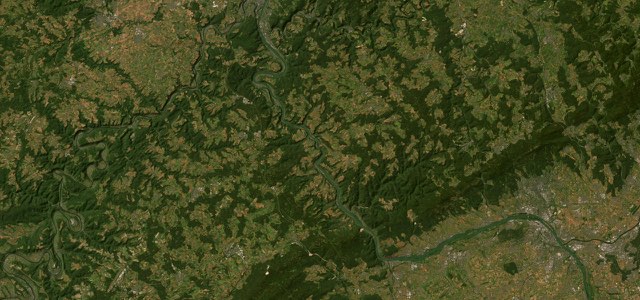
Satellite map of Moselweinstraße, Germany

Moselweinstraße

B53Germany

22 mi · 41 min · 30 corners

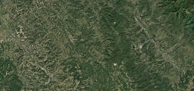
Satellite map of Strada Chiantigiana, Apennines

Strada Chiantigiana

SR222Apennines

18 mi · 45 min · 579 m summit

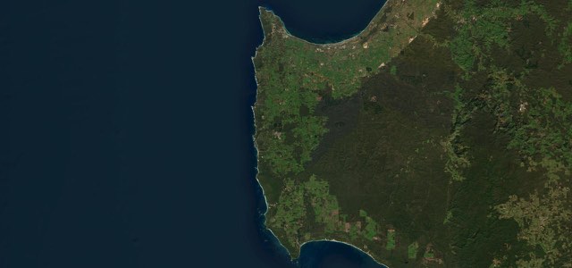
Satellite map of Caves Road, Australia

Caves Road

Australia

58 mi · 1 h 50 min · 60 corners

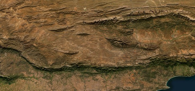
Satellite map of Route 62, South Africa

Route 62

R62South Africa

144 mi · 4 h 48 min · 732 m summit

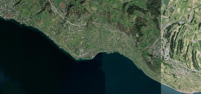
Satellite map of Corniche de Lavaux, Switzerland

Corniche de Lavaux

Switzerland

5 mi · 10 min · 577 m summit

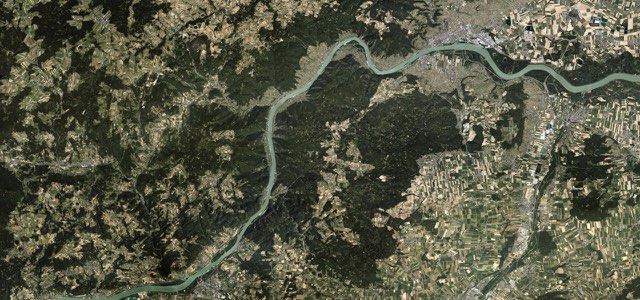
Satellite map of Wachau, Austria

Wachau

B3Austria

20 mi · 37 min · 15 corners

Satellite map of Rhine Gorge, Germany

Rhine Gorge

B9Germany

35 mi · 1 h 3 min · 20 corners

Satellite map of Route des Vins d'Alsace (Obernai to Kaysersberg), France

Route des Vins d’Alsace (Obernai to Kaysersberg)

D35D1bisFrance

36 mi · 1 h 5 min · 90 corners

More collections

All 80 collections ›