Lower Austria · Austria
Wachau
B3Krems an der Donau to Emmersdorf an der Donau
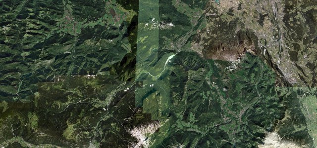
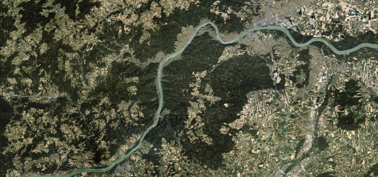
The B3 along the north bank of the Danube through the Wachau, 33 km from Krems to Emmersdorf opposite Melk, past Dürnstein, Weißenkirchen, Spitz and Willendorf, between terraced vineyards and apricot orchards.
From Stein, on the western edge of Krems, the B3 follows the north bank of the Danube upstream through the Wachau, the valley between Krems and Melk that has been a UNESCO World Heritage site since 2000. At Dürnstein it passes the town in a tunnel, opened in 1959, below the ruined castle where Richard the Lionheart was held in 1193. It then runs through Weißenkirchen and Spitz, both with ferries that take cars to the south bank, and Willendorf, where the Venus of Willendorf was found during railway construction in 1908. Beyond Aggsbach Markt it reaches Emmersdorf, where a bridge opened in 1972 crosses to Melk and its Benedictine abbey. It is a two-lane road with long 100 km/h stretches and lower limits through the villages, and the north bank carries more traffic than the quieter B33 on the south bank.
Wachau on the map20.3 mi · point to point
Navigate to the start: Apple Maps · Google Maps
Character
Corners
busiest around mile 11Elevation
under 4%4 to 8%over 8%196 to 213 mPoints of interest4 stops
- Burgruine DürnsteinRuined castle above Dürnstein where Richard the Lionheart was held in 1193, a steep 30-minute walk from the town.3.9 mi in
- Rollfähre Weißenkirchen-St. LorenzOne of the Wachau’s three river ferries that take cars across to the south bank.7.0 mi in
- Ruine HinterhausFortress ruin on the hill just south of Spitz, above the road.11 mi in
- Venus-FundstelleSpot above the Willendorf museum where the Venus of Willendorf was found during railway construction in 1908.14 mi in
Hazards
- Heavier traffic than on the south bank
- Two-way tunnel at Dürnstein
- Tour-bus and cruise-ship crowds at Dürnstein
- Many cyclists in the valley
Sources
“Taking the B3 along the "left bank" of the Danube from Melk (after marvelling at the monastery) gives a scenic ride along the river, with plenty of places to stop and have a break to look at the river and the local scenery.”
“the 24-mile stretch of the Wachau between the towns of Melk and Krems is as pretty as river valleys come.”
Route traced from OpenStreetMap, with its stats measured from that line. How the roads are mapped
Driving the Wachau: quick answers
How long does it take to drive the Wachau?
How difficult is the Wachau to drive?
When is the best time to drive the Wachau?
Nearby roads
The closest great drives to Wachau.