Bavarian Forest, Bavaria · Germany
Ruselbergstrecke
St 2135Deggendorf to Regen
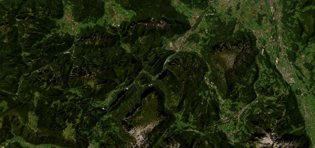
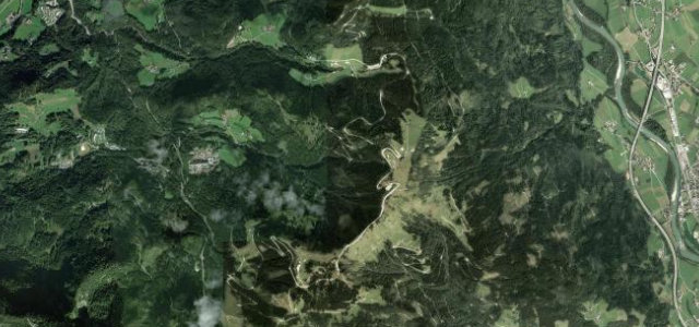
The Bavarian Forest’s 1912 hillclimb course, up to the Ruselabsatz.
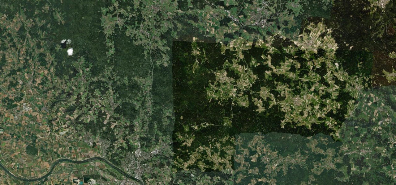
The climb from Deggendorf up to the Ruselabsatz is one of the oldest pieces of motorsport ground in Germany: cars and motorbikes first raced the Rusel in September 1912, and the Rusel-Bergrennen ran on and off until 1983. It carried the B11 until 1979 and is now the Staatsstraße 2135, but nothing else has changed, four kilometres of steep wooded hairpins to an 856 m saddle on the edge of the Bavarian Forest, gradients touching 13 per cent. The tightest corner near the top, the Wegmacher-Kurve, still catches people out. Winter brings snow and the summit doubles as a cross-country ski area, so it is a warm-weather road, and a properly historic one.
Scenery
Best seasons
In these collections
Where it runs15.4 mi · point to point
Navigate to the start: Apple Maps · Google Maps
Character
Elevation
under 4%4–8%over 8%316 – 871 mThe strip below the profile is corner density: taller, warmer ticks mean tighter bends.
Points of interest2 stops
- Ruselabsatz summit and viewpointViewpoint5.1 mi in
- Berggasthof RuselFood and drink5.1 mi in
Hazards
- Steep gradients up to 13 per cent on the four kilometre climb
- Tight wooded hairpins, notably the Wegmacher-Kurve near the summit
- Popular motorcycling road with a real summer accident risk
- Winter snow and ice, snow chains sometimes required
Verified route: mapped from real road geometry and fact-checked by a human editor. How roads get checked
Driving the Ruselbergstrecke: quick answers
How long does it take to drive the Ruselbergstrecke?
How difficult is the Ruselbergstrecke to drive?
When is the best time to drive the Ruselbergstrecke?
Nearby roads
The closest great drives to Ruselbergstrecke.