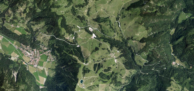
Bavaria · Germany
Sudelfeld Pass
B307Bayrischzell to Oberaudorf
Classic Bavarian Alpine-Road pass from Bayrischzell to the Tatzelwurm.
The B307 climbs over the 1,123 m Sudelfeld pass between Bayrischzell and the Tatzelwurm gorge, a long-established stage of the German Alpine Road through the Mangfall mountains. Open and curving rather than relentlessly tight, it serves the Sudelfeld ski area before dropping toward the Inn valley. A 60 km/h limit, overtaking bans and frequent speed checks apply, and the route is busy with motorcyclists in fine weather.
Where it runs7.4 mi · point to point
BayrischzellStart · Bavaria
OberaudorfEnd · Bavaria
Navigate to the start: Apple Maps · Google Maps
Character
Corners26bends
Tightness5of 10
Max gradient9%≈ 1-in-11
Hairpins2tight bends
Climb362 mtotal ascent
Summit1,128.9 mhighest point of the line · 3,704 ft
Corners
busiest around mile 2Elevation
under 4%4–8%over 8%794.3 – 1,128.9 mFrom the road
Points of interest3 stops
- SudelfeldpassViewpoint3.0 mi in
- Oberer TatzelwurmwasserfallLandmark7.3 mi in
- Gedenktafel Berghaus SudelfeldLandmark3.2 mi in
Hazards
- Strict 60 km/h limits and overtaking bans
- Frequent mobile speed cameras
- Heavy motorcycle traffic on fine-weather weekends
Sources
“Von Bayrischzell führt eine breit ausgebaute Straße in herrlichen Kurven Richtung Inntal”
Verified route: mapped from real road geometry and fact-checked by a human editor. How roads get checked
Driving the Sudelfeld Pass: quick answers
How long does it take to drive the Sudelfeld Pass?
Sudelfeld Pass runs 7.4 miles (11.9 km) and takes about 15 min to drive without stops.
How difficult is the Sudelfeld Pass to drive?
We rate it moderate: 26 corners including 2 hairpins, a maximum gradient of 9%, and a tightness of 5 out of 10.
When is the best time to drive the Sudelfeld Pass?
Spring and Summer and Autumn are best.
Nearby roads
The closest great drives to Sudelfeld Pass.
Sudelfeld Pass
DirectionsGet the app