Tyrol · Austria
Gerlos Pass
B165Zell am Ziller to Vorderkrimml
An alpine pass linking the Zillertal and Salzburg’s high falls.
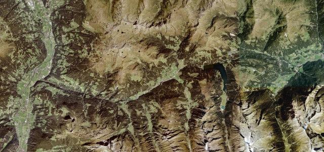
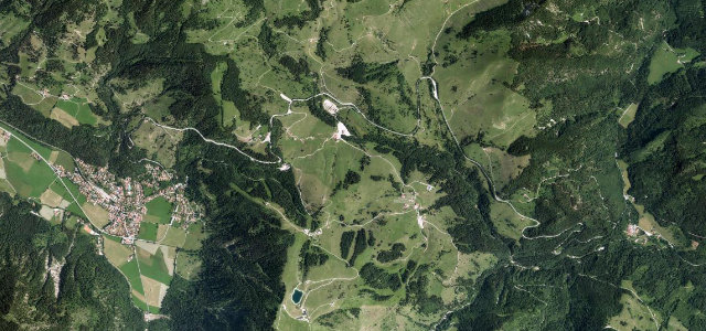
The B165 Gerlosstraße crosses the Gerlos Pass at 1,531 m between Zell am Ziller and Krimml, climbing through alpine meadow to the dramatic Krimml Waterfalls, Austria’s highest. Flowing and scenic; watch for motorbikes, coaches, and quick weather on the open top.
Where it runs19.7 mi · point to point
Zell am ZillerStart · Tyrol
VorderkrimmlEnd · Tyrol
Navigate to the start: Apple Maps · Google Maps
Character
Corners32bends
Tightness5of 10
Max gradient9%≈ 1-in-11
Hairpins8tight bends
Climb960 mtotal ascent
Summit1,530.8 mhighest point of the line · 5,022 ft
Corners
busiest around mile 16Elevation
under 4%4–8%over 8%594.1 – 1,530.8 mFrom the road
Points of interest2 stops
- GerlospassViewpoint15 mi in
- GoldschaubergwerkLandmark1.8 mi in
Hazards
- Motorbikes and coaches
- Quick weather on top
- Toll on the scenic alpine road
Sources
“the Gerlos Alpenstraße (Gerlos Alpine Road) is a very exciting journey”
Verified route: mapped from real road geometry and fact-checked by a human editor. How roads get checked
Driving the Gerlos Pass: quick answers
How long does it take to drive the Gerlos Pass?
Gerlos Pass runs 19.7 miles (32 km) and takes about 39 min to drive without stops.
How difficult is the Gerlos Pass to drive?
We rate it demanding: 32 corners including 8 hairpins, a maximum gradient of 9%, and a tightness of 5 out of 10.
When is the best time to drive the Gerlos Pass?
Summer and Autumn are best.
How much is the toll on the Gerlos Pass?
€13.00 for a car and €9.50 for a motorcycle (2026). Single-journey day ticket. The road is open year round. Always check the operator before you go, tolls change each season.
Nearby roads
The closest great drives to Gerlos Pass.
Gerlos Pass
DirectionsGet the app