
 Country guide
The best driving roads in Austria
All 23 driving roads in Austria on one interactive map, including 3 world icons, each with its route, climb and best seasons.
Roads233 world icons
Combined298 mi480 km of driving
High point2,819 m9,249 ft
The five to build a trip around
Our ranking, icons first, with the reasoning on the table. All 23 roads follow below.
-
1
 2,507 msummit
Grossglockner High Alpine Road
Austria’s grand toll road, sweeping past glaciers to 2,500 m.
-
2
 2,038 msummit
Silvretta High Alpine Road
A graceful toll road of stacked hairpins to the Bielerhöhe.
-
3
 2,475 msummit
Timmelsjoch
Hairpins climb from green Ötztal meadows into bare, snow-streaked high country, tipping you over from Austria into Italy at 2,474 metres.
-
4
 1,590 msummit
Loser Panoramastraße
A short, intense toll panorama road of tight hairpins above Altaussee in the Salzkammergut, with views over the Altausseer See to the Dachstein.
-
5
 1,072 msummit
Wurzen Pass (Wurzenpass)
Short, steep border pass to Slovenia with sustained 18 percent ramps near Villach.
The roads
Carinthia and around12 roads
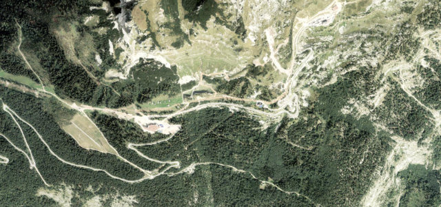 Loser Panoramastraße4 mi · 8 min · 1,590 m summitView the roadbook ›
Tyrol and around11 roads
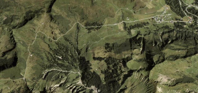 Furkajoch4 mi · 8 min · 1,760 m summitView the roadbook ›
Collections featuring Austria
Guides for this region
Nearby countries

 Slovenia

 Italy

 Switzerland
Driving in Austria: common questions
What is the best driving road in Austria?
Loser Panoramastraße is the place to start. A short, intense toll panorama road of tight hairpins above Altaussee in the Salzkammergut, with views over the Altausseer See to the Dachstein.
How many great driving roads does Austria have?
23 roads in our catalogue, including 3 world icons, 298 miles of driving in all, every one traced from OpenStreetMap.
When is the best time to drive in Austria?
Most of the roads here are at their best in summer and autumn.
What is the highest road in Austria?
Ötztaler Gletscherstraße (Sölden Glacier Road) is the highest, climbing to about 2,819 m (9,249 ft).