Carinthia · Austria
Plöckenpass
B110Kötschach-Mauthen to Paluzza / Paluce / Palutsch
Ancient Roman-era pass at 1,357 m on the Carinthia–Italy border.
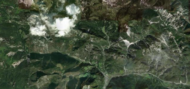
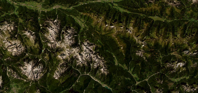
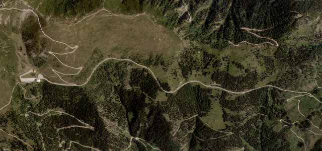
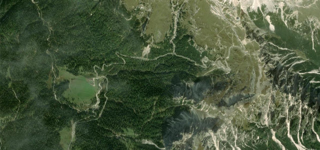
The Plöckenpass (1,357 m) carries the B110 from Kötschach-Mauthen in the Carinthian Gail valley to the Italian border above Paluzza, on a route used since antiquity and rebuilt by Roman legions. The Austrian ascent climbs through the Carnic Alps on a largely straight, curve-poor run to the border, where the Italian side falls away in a famous stack of about a dozen hairpin bends and short tunnels, and the pass area is dotted with bunkers and tunnels from the 1915–1918 mountain front. Sections are steep with gradients around 13%, and the high pass can be hazardous in poor weather.
Where it runs8.1 mi · point to point
Navigate to the start: Apple Maps · Google Maps
Character
Corners
busiest around mile 7Elevation
under 4%4–8%over 8%702.1 – 1,362.9 mFrom the road
Points of interest2 stops
- Marktstein MauthenLandmark1.0 mi in
- Passo di Monte Croce Carnico / Plöckenpass / Pas di Mont di CrôsViewpoint8.1 mi in
Hazards
- About a dozen hairpins and short tunnels
- Steep sections near ~13% gradient
- High border pass exposed to weather, busy with cross-border traffic
Sources
“The drive is pretty defiant, with twelve hairpin bends and four tunnels. It hits a 13.0% of maximum gradient through some of the ramps.”
Verified route: mapped from real road geometry and fact-checked by a human editor. How roads get checked
Driving the Plöckenpass: quick answers
How long does it take to drive the Plöckenpass?
How difficult is the Plöckenpass to drive?
When is the best time to drive the Plöckenpass?
Nearby roads
The closest great drives to Plöckenpass.