Veneto · Italy
Tre Cime di Lavaredo Toll Road
Misurina to Rifugio Auronzo
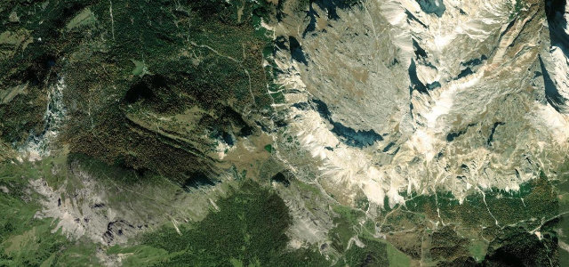
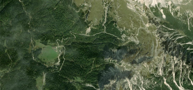
Steep tolled hairpin ramp from Misurina up to Rifugio Auronzo beneath the Three Peaks.
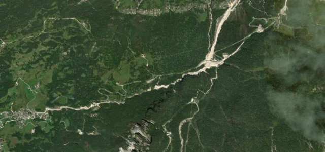
From Lake Misurina a private toll road winds up through a tight set of steep hairpins, signed at around 12 percent, to the car park at Rifugio Auronzo directly below the Tre Cime di Lavaredo. It is short but dramatic, ending at one of the most photographed viewpoints in the Dolomites. Access is gated, pre-booked and costs a per-car toll, and the road is busy in season. Mind the steep gradients, the heavy summer traffic and pedestrians near the top, and the late-May to late-October seasonal opening only.
Scenery
Best seasons
In these collections
In these Grand Tours
In these guides
Where it runs2.9 mi · point to point
Navigate to the start: Apple Maps · Google Maps
Character
Corners
busiest around mile 2Elevation
under 4%4–8%over 8%1,831.5 – 2,305 mPoints of interest3 stops
- Forcella LongeresViewpoint2.8 mi in
- Monte di FuoriViewpoint1.4 mi in
- Col de le BisseViewpoint1.8 mi in
Hazards
- Toll gate and booking required
- Steep crowded hairpins
- Seasonal closure
- Pedestrians near the top
Is Tre Cime di Lavaredo Toll Road open? Typical season and live summit weather ›
Sources
“The drive offers panoramic views and is known for its stunning landscapes and historical World War I sites.”
Verified route: mapped from real road geometry and fact-checked by a human editor. How roads get checked
Driving the Tre Cime di Lavaredo Toll Road: quick answers
How long does it take to drive the Tre Cime di Lavaredo Toll Road?
How difficult is the Tre Cime di Lavaredo Toll Road to drive?
When is the best time to drive the Tre Cime di Lavaredo Toll Road?
Is there a toll on the Tre Cime di Lavaredo Toll Road?
Nearby roads
The closest great drives to Tre Cime di Lavaredo Toll Road.