South Tyrol / Veneto · Italy
Passo Monte Croce di Comelico
SS52San Candido to Santo Stefano di Cadore
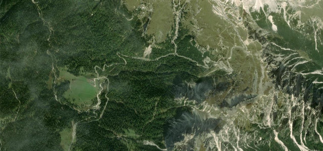
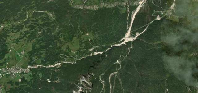
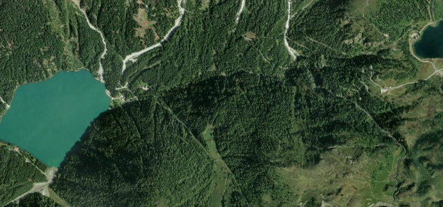
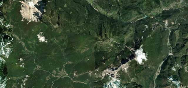
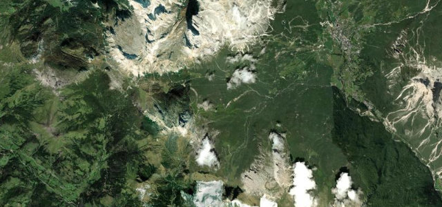
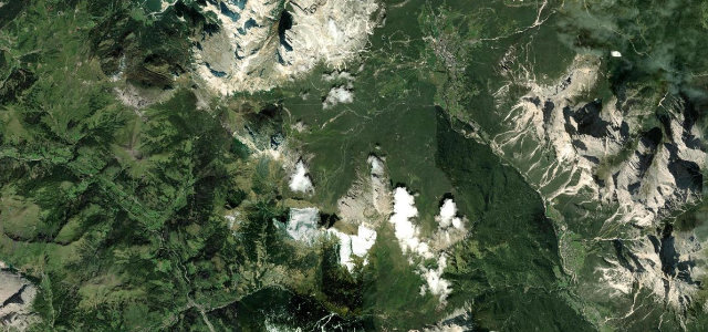
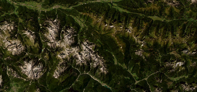
The Kreuzbergpass at 1636 m, a well-graded SS52 saddle between the Sesto Dolomites and the Carnic Alps, linking San Candido to Santo Stefano di Cadore.
The SS52 Strada Carnica climbs from San Candido in the Puster valley over the 1636 m Kreuzbergpass, the dividing line between the Sesto Dolomites to the west and the Carnic Alps to the east, then runs down the Val Padola to Santo Stefano di Cadore. It is fully paved and in good order, with sweeping curves rather than extreme hairpins, and an old Roman trade route beneath it. A relaxed but scenic Dolomite crossing that has featured in the Giro d’Italia. Mind the moderate to heavy summer traffic, the steeper twistier descent toward Santo Stefano, and trucks using it as a through route.
Scenery
Best seasons
In these collections
Where it runs22.9 mi · point to point
Navigate to the start: Apple Maps · Google Maps
Character
Corners
busiest around mile 14Elevation
under 4%4–8%over 8%909.6 – 1,642.3 mFrom the road
Points of interest3 stops
- Kreuzbergpass – Passo Monte Croce di ComelicoViewpoint9.9 mi in
- Monumento all’emigranteLandmark23 mi in
- Cascata del PissandoloLandmark11 mi in
Hazards
- Moderate to heavy through traffic in summer
- Trucks on the SS52 corridor
- Snow and ice outside the warm months
Sources
“A 5-Star Road to Monte Croce di Comelico Pass”
Verified route: mapped from real road geometry and fact-checked by a human editor. How roads get checked
Driving the Passo Monte Croce di Comelico: quick answers
How long does it take to drive the Passo Monte Croce di Comelico?
How difficult is the Passo Monte Croce di Comelico to drive?
When is the best time to drive the Passo Monte Croce di Comelico?
Nearby roads
The closest great drives to Passo Monte Croce di Comelico.