Veneto · Italy
Passo Cibiana
SP347Forno di Zoldo to Venas di Cadore
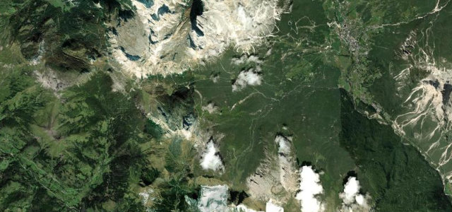
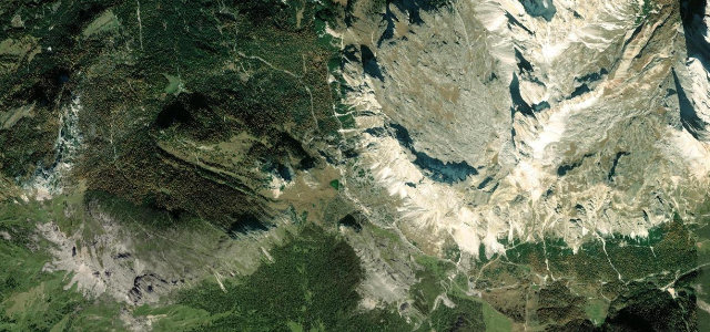
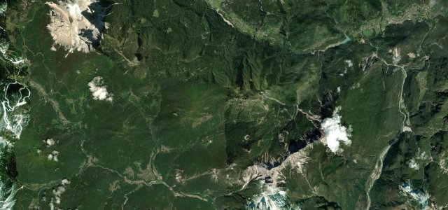
A winding southern-Dolomite pass at 1530 m crowned by Fort Monte Rite and Reinhold Messner’s mountain museum, linking the Zoldo and Cadore valleys.
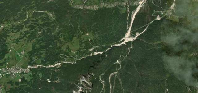
The SP347 climbs from Forno di Zoldo through switchbacks near Villanova to the wooded 1530 m saddle, where a toll track branches up to Monte Rite and the Messner Mountain Museum in the Dolomites, before descending to Venas di Cadore. It is a quieter, tree-lined pass with steep ramps reaching 13 to 15 percent and a string of tight hairpins, closed to long and heavy vehicles. A Giro d’Italia climb that rewards a steady pace over speed. Mind the narrow blind bends through villages, the steep gradients near the top, and damp shaded tarmac under the forest canopy.
Scenery
Best seasons
In these collections
Where it runs16.2 mi · point to point
Navigate to the start: Apple Maps · Google Maps
Character
Corners
busiest around mile 9Elevation
under 4%4–8%over 8%839 – 1,618.9 mFrom the road
Points of interest3 stops
- Forcella CiandoladaViewpoint9.2 mi in
- Battaglia della ChiusaLandmark15 mi in
- Col de SaguiViewpoint6.1 mi in
Hazards
- Narrow blind bends through villages
- Steep 13 to 15 percent ramps near the summit
- Damp shaded tarmac under tree cover
Sources
“The road to the summit, called Strada Provinciale 347 (SP347), is fully paved. It is a winding, narrow road”
Verified route: mapped from real road geometry and fact-checked by a human editor. How roads get checked
Driving the Passo Cibiana: quick answers
How long does it take to drive the Passo Cibiana?
How difficult is the Passo Cibiana to drive?
When is the best time to drive the Passo Cibiana?
Nearby roads
The closest great drives to Passo Cibiana.