Veneto · Italy
Passo Duran
SP347Agordo to Chiesa
Narrow quiet Giro climb between two Dolomite valleys.
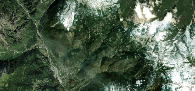
The SP347 reaches a 1601 m saddle between Agordo in the Cordevole valley and the Zoldo valley, a recurring Giro d’Italia climb. The asphalt is decent but the road is narrow and winding with ramps up to about 15 percent. Mind the tight blind bends where oncoming cars leave little room.
Where it runs9.0 mi · point to point
AgordoStart · Veneto
ChiesaEnd · Veneto
Navigate to the start: Apple Maps · Google Maps
Character
Corners20bends
Tightness7of 10
Max gradient15%≈ 1-in-7
Hairpins4tight bends
Climb993 mtotal ascent
Summit1,610.5 mhighest point of the line · 5,284 ft
Corners
busiest around mile 1Elevation
under 4%4–8%over 8%617.9 – 1,610.5 mFrom the road
Points of interest2 stops
- Passo DuranViewpoint9.0 mi in
- Forcella DagareiViewpoint7.9 mi in
Hazards
- Narrow blind bends
- Steep 15 percent ramps
- Limited passing room
Sources
“a very winding road with narrow parts and steep sections, reaching a maximum gradient of 15% on some ramps”
Verified route: mapped from real road geometry and fact-checked by a human editor. How roads get checked
Driving the Passo Duran: quick answers
How long does it take to drive the Passo Duran?
Passo Duran runs 9.0 miles (14.5 km) and takes about 20 min to drive without stops.
How difficult is the Passo Duran to drive?
We rate it demanding: 20 corners including 4 hairpins, a maximum gradient of 15%, and a tightness of 7 out of 10.
When is the best time to drive the Passo Duran?
Summer and Autumn are best.
Nearby roads
The closest great drives to Passo Duran.
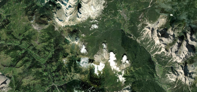
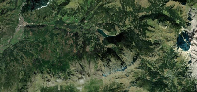
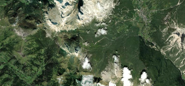
Passo Duran
DirectionsGet the app