Trentino / Veneto · Italy
Passo Valles
SP81SP25Paneveggio to Falcade
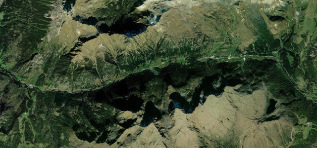
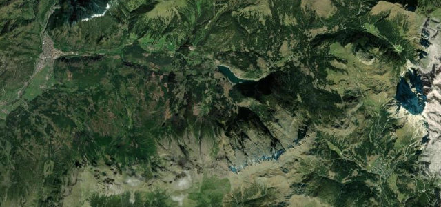
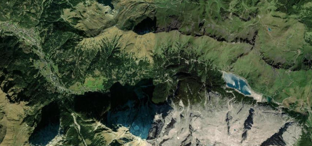
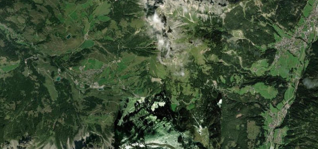
A quiet WWI supply road over a 2032 m saddle below the Pale di San Martino, linking Paneveggio in Trentino to Falcade in the Veneto.
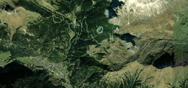
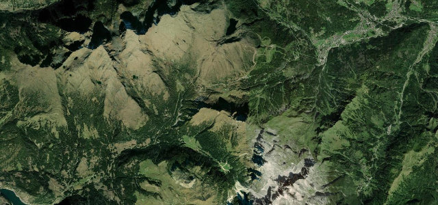
Built during the First World War to supply the Marmolada fortifications, the road climbs from the Paneveggio forest on the SS50 side and crests at 2032 m with views to the Pale di San Martino and Cima Bocche, then descends toward Falcade. It is narrower and less trafficked than the Sella Ronda passes, with steady gradients around 8 percent and a string of tight hairpins on the steeper flank. A favourite for riders chaining it with Passo Rolle and San Pellegrino. Mind the narrow, exposed sections with little barrier, late-lying snow that keeps it shut into early summer, and loose gravel washed onto bends after rain.
Where it runs11.5 mi · point to point
Navigate to the start: Apple Maps · Google Maps
Character
Corners
busiest around mile 11Elevation
under 4%4–8%over 8%1,152.2 – 2,034.7 mFrom the road
Points of interest3 stops
- Passo VallesViewpoint4.3 mi in
- Monumento ai Caduti Grande GuerraLandmark11 mi in
- Suoni ForestaLandmarkat the start
Hazards
- Narrow exposed stretches with minimal barriers
- Late snow closing the pass into early summer
- Gravel and rockfall on bends after rain
Sources
“The bends that take you up through the surrounding woodlands will finally reveal an enchanting panorama”
Verified route: mapped from real road geometry and fact-checked by a human editor. How roads get checked
Driving the Passo Valles: quick answers
How long does it take to drive the Passo Valles?
How difficult is the Passo Valles to drive?
When is the best time to drive the Passo Valles?
Nearby roads
The closest great drives to Passo Valles.