Trentino / Veneto · Italy
Passo San Pellegrino
SS346Moena to Falcade
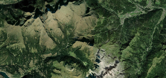
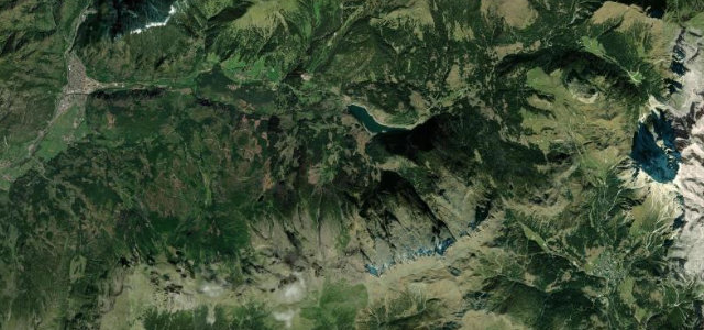
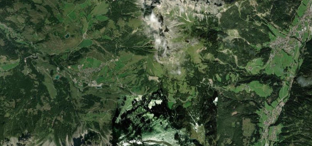
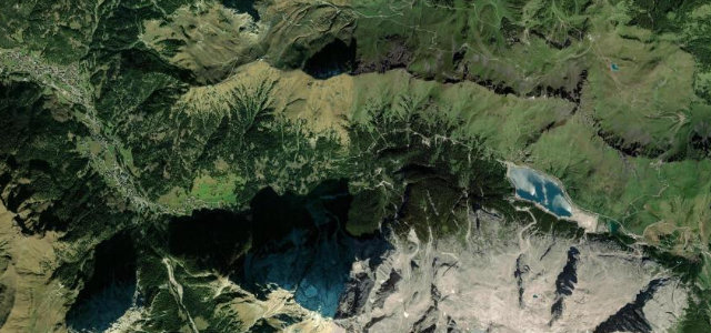
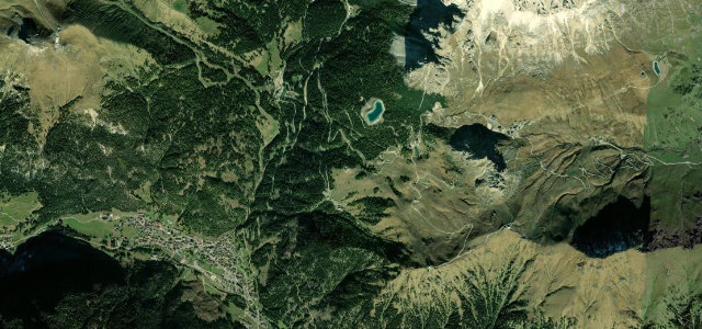
A flowing, fully paved Dolomite pass between Moena and Falcade, topping out at 1918 m beside the Trevalli ski area with the Costabella and Cima Uomo walls overhead.
From Moena in the Val di Fassa the SS346 climbs steadily east through meadow and forest, opening onto the broad pastures and ski-station bowl at the 1918 m saddle, then drops in tighter switchbacks toward Falcade in the Veneto. It is a Giro d’Italia climb and one of the more relaxed, wide-cambered Dolomite passes, popular with riders linking it to nearby Passo Valles. Surfaces are good and the gradients moderate, though the descent steepens. Mind ski-season traffic and snow at the pass, grazing livestock on open stretches, and slower campervans on the climb.
Where it runs6.5 mi · point to point
Navigate to the start: Apple Maps · Google Maps
Character
Corners
busiest around mile 1Elevation
under 4%4–8%over 8%1,417.6 – 1,920.9 mFrom the road
Points of interest3 stops
- Passo San PellegrinoViewpoint5.0 mi in
- Cascata Passo San PellegrinoLandmark6.4 mi in
- Cannoniera ItalianaLandmark4.4 mi in
Hazards
- Snow and ice at the pass outside high summer
- Ski-resort and tourist traffic in season
- Livestock on open pasture sections
Sources
“one of the most charming mountain passes in Italy, rich in history and ancient traditions”
Verified route: mapped from real road geometry and fact-checked by a human editor. How roads get checked
Driving the Passo San Pellegrino: quick answers
How long does it take to drive the Passo San Pellegrino?
How difficult is the Passo San Pellegrino to drive?
When is the best time to drive the Passo San Pellegrino?
Nearby roads
The closest great drives to Passo San Pellegrino.