Trentino-Alto Adige · Italy
Passo Sella
SS242Canazei to Sëlva – Wolkenstein – Selva di Val Gardena
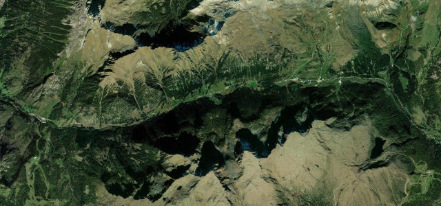
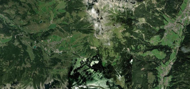
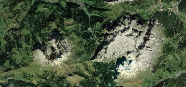
A Dolomites pass beneath the sheer Sella massif.
The SS242 climbs from Canazei to the Sella Pass at 2,244 m, threading hairpins beneath the vertical walls of the Sella and Sassolungo, one of the great Dolomites roads. Watch for cyclists, motorbikes, and tour coaches on the tight bends, and snow into early summer.
We picked it for the Sassolungo: those pale towers loom over every hairpin, close enough to feel, while the road climbs in a clean, rhythmic stack of smooth curves.
Why we picked it
Scenery
Best seasons
In these collections
In these Grand Tours
In these guides
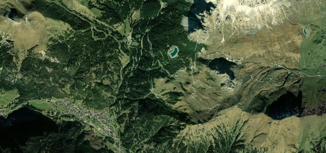
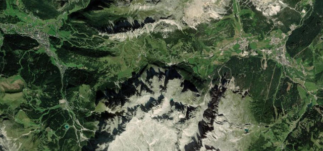
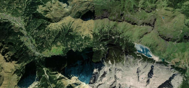
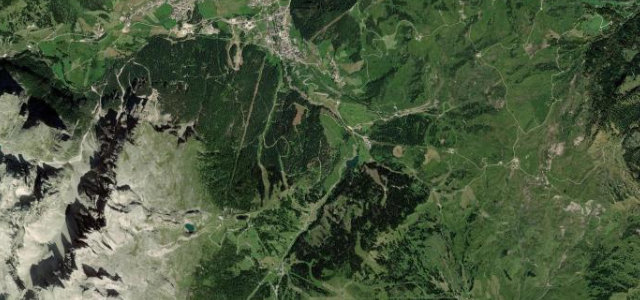
Where it runs9.3 mi · point to point
Navigate to the start: Apple Maps · Google Maps
Character
Corners
busiest around mile 1Elevation
under 4%4–8%over 8%1,583.3 – 2,245.4 mFrom the road
Points of interest2 stops
- Sella PassViewpoint3.4 mi in
- Locomotiva – LokomotiveViewpoint3.3 mi in
Hazards
- Tight hairpins, cyclists and bikes
- Snow into early summer
- Steep drops
Sources
“Sella Pass is one of the most iconic roads of the Dolomites”
Verified route: mapped from real road geometry and fact-checked by a human editor. How roads get checked
Driving the Passo Sella: quick answers
How long does it take to drive the Passo Sella?
How difficult is the Passo Sella to drive?
When is the best time to drive the Passo Sella?
Nearby roads
The closest great drives to Passo Sella.