Veneto · Italy
Passo Falzarego
SR48Cortina d’Ampezzo to Pieve
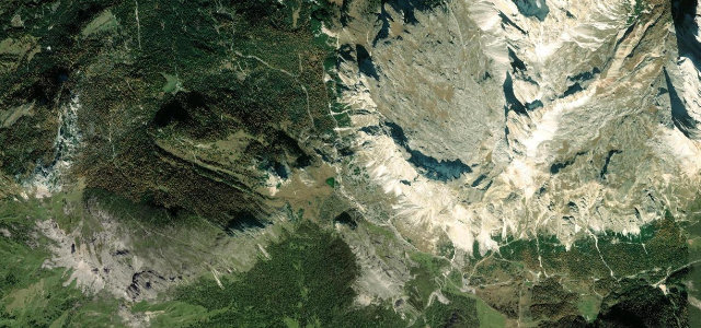
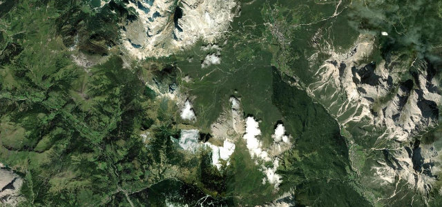
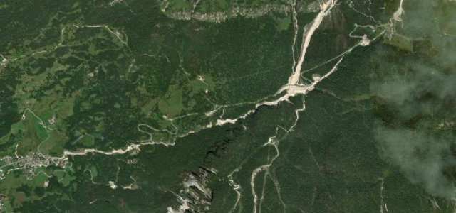
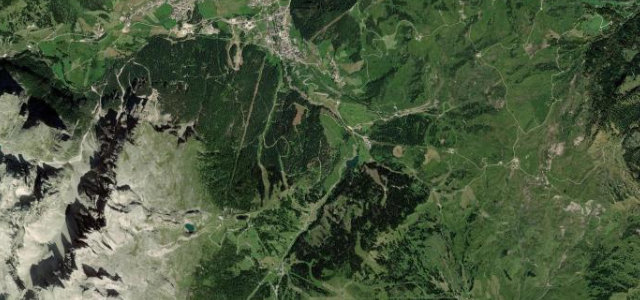
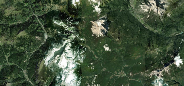
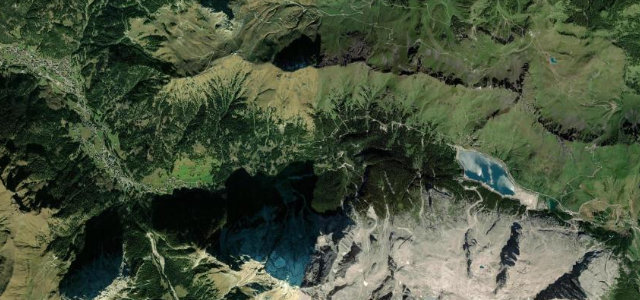
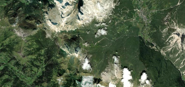
The SR48 crests at 2,105 m between Cortina and Livinallongo, a leg of the storied Great Dolomites Road beneath the Tofane and the Lagazuoi. Flowing hairpins, and in season everyone from cyclists to coach parties knows it.
The SR48 carries the Falzarego Pass at 2,105 m between Cortina and Livinallongo, part of the storied Great Dolomites Road beneath the Tofane and Lagazuoi. Flowing hairpins and huge views; busy in season, with bikes, coaches and quick weather.
Scenery
Best seasons
In these collections
In these Grand Tours
Where it runs16.8 mi · point to point
Navigate to the start: Apple Maps · Google Maps
Character
More hairpins than 9 in 10 roads in the catalogue.
Corners
busiest around mile 17Elevation
under 4%4–8%over 8%1,200 – 2,103.7 mFrom the road
Points of interest3 stops
- Falzarego PassViewpoint10 mi in
- Belvedere di PocolViewpoint2.2 mi in
- Angelo DibonaLandmarkat the start
Hazards
- Seasonal traffic and coaches
- Cyclists and motorbikes
- Fast-changing weather
Sources
“This is a good route with a great surface and a combination of hairpins, medium-fast sweepers, and some long straights.”
Verified route: mapped from real road geometry and fact-checked by a human editor. How roads get checked
Driving the Passo Falzarego: quick answers
How long does it take to drive the Passo Falzarego?
How difficult is the Passo Falzarego to drive?
When is the best time to drive the Passo Falzarego?
Nearby roads
The closest great drives to Passo Falzarego.