Veneto · Italy
Forcella Staulanza
SP251Forno di Zoldo to Selva di Cadore
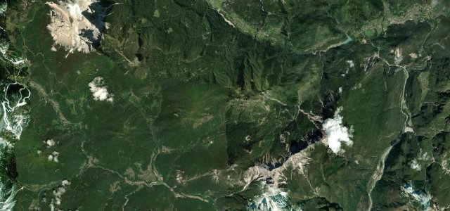
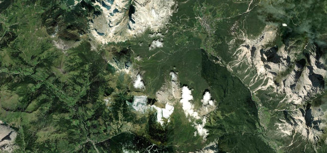
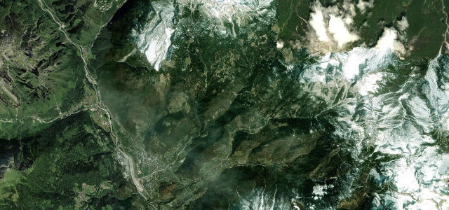
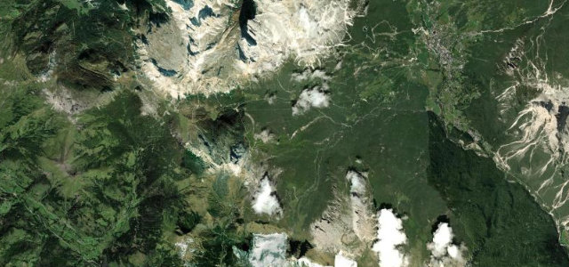
A scenic Dolomite pass at 1766 m wedged between Monte Pelmo and the Civetta massif, on the SP251 between the Zoldo and Cadore valleys.
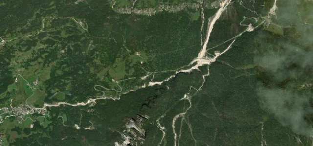
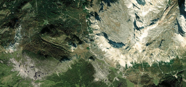
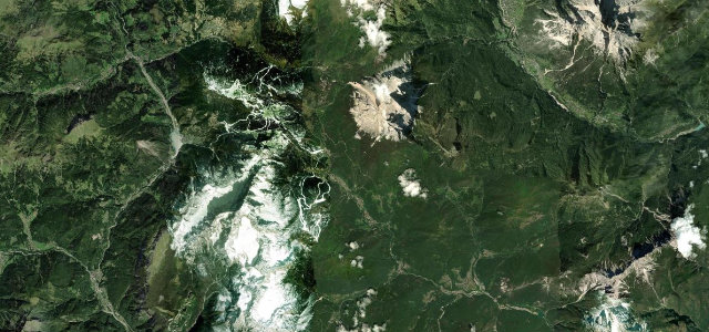
The SP251 winds north from the Zoldo valley to the 1766 m saddle set directly beneath the great rock walls of Pelmo and Civetta, then drops to Selva di Cadore. It is a curvy, well-surfaced run with many hairpins and some steep pitches, framed by some of the most dramatic peaks in the Dolomites, and is a Giro d’Italia climb. A natural pairing with nearby Passo Giau and Passo Duran on a Dolomite loop. Mind the heavy tourist and motorcycle traffic in peak summer, snow keeping it tricky off-season, and tight bends where coaches cut the line.
Scenery
Best seasons
In these collections
Where it runs13.8 mi · point to point
Navigate to the start: Apple Maps · Google Maps
Character
Corners
busiest around mile 6Elevation
under 4%4–8%over 8%849 – 1,783.6 mFrom the road
Points of interest2 stops
- Passo StaulanzaViewpoint9.5 mi in
- Monumento ai Caduti e Dispersi Guerra 1915-1918, 1940-1945Landmark1.8 mi in
Hazards
- Heavy motorcycle and tourist traffic in peak season
- Snow and ice off-season
- Coaches and campers cutting tight bends
Sources
“a very curvy drive, with many hairpin turns and steep sections”
Verified route: mapped from real road geometry and fact-checked by a human editor. How roads get checked
Driving the Forcella Staulanza: quick answers
How long does it take to drive the Forcella Staulanza?
How difficult is the Forcella Staulanza to drive?
When is the best time to drive the Forcella Staulanza?
Nearby roads
The closest great drives to Forcella Staulanza.