Carinthia · Austria
Goldeck Panoramastraße
Zlan to Goldeck
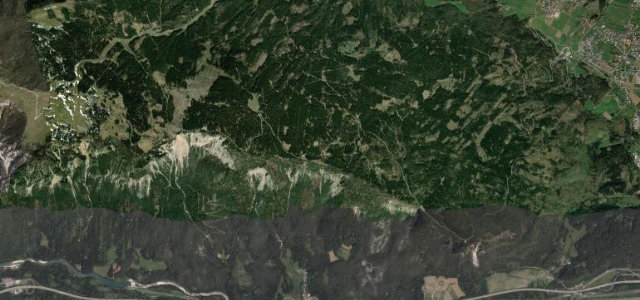
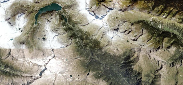
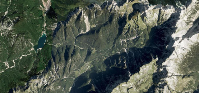
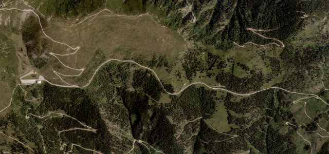
Pay at the gate, then it’s 14.5 km and ten hairpins from the Drau valley to the Seetal car park near 1,900 m, with Lake Millstatt and the Nockberge unrolling below. The road gives up just 250 m short of the Goldeck’s 2,142 m summit, and you won’t feel short-changed.
This toll road climbs about 14.5 km from Zlan above the Drau valley to the Seetal car park near 1900 m on the Goldeck, ending some 250 m below the 2142 m summit. Ten hairpins link steep ramps with grades reaching roughly 10 percent and wide views over Lake Millstatt and the Nockberge. Mind the toll station and the road’s seasonal May-to-October opening.
Where it runs8.5 mi · point to point
Navigate to the start: Apple Maps · Google Maps
Character
Corners
busiest around mile 5Elevation
under 4%4–8%over 8%795.5 – 1,906.3 mFrom the road
Points of interest3 stops
- MartennockViewpoint7.8 mi in
- FuchsnockViewpoint8.4 mi in
- SeetalnockViewpoint8.5 mi in
Hazards
- Toll station
- Steep ramps up to around 10 percent
- Closed November to April
Is Goldeck Panoramastraße open? Typical season and live summit weather ›
Sources
“For 14 kilometers, the engine has to work hard to cover a 1,000-meter elevation gain.”
Verified route: mapped from real road geometry and fact-checked by a human editor. How roads get checked
Driving the Goldeck Panoramastraße: quick answers
How long does it take to drive the Goldeck Panoramastraße?
How difficult is the Goldeck Panoramastraße to drive?
When is the best time to drive the Goldeck Panoramastraße?
Is there a toll on the Goldeck Panoramastraße?
Nearby roads
The closest great drives to Goldeck Panoramastraße.