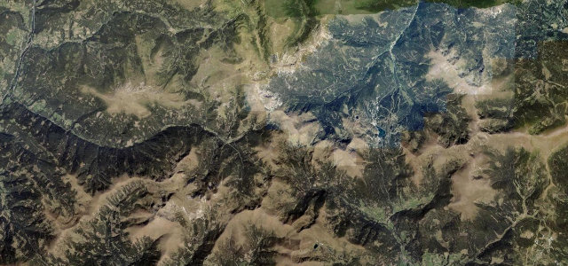
Carinthia · Austria
Malta-Hochalmstraße (Kölnbreinsperre)
Malta to Kölnbreinsperre
Hairpin toll road through rock tunnels to Austria’s highest dam, the Kölnbreinsperre.
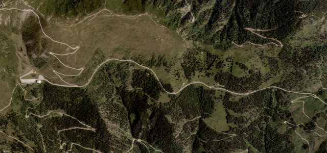
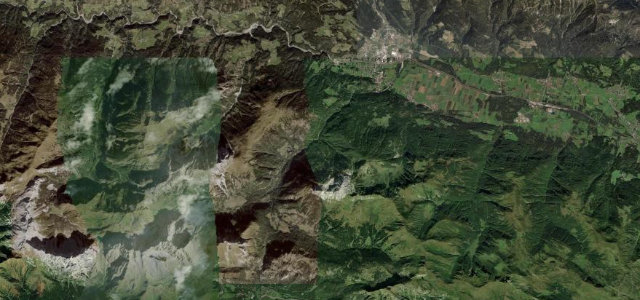
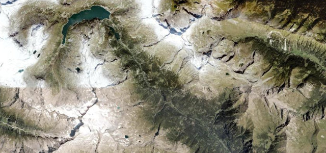
Roughly 14 km of toll road climbs the Maltatal in Carinthia past waterfalls, through six tunnels bored from raw rock and a string of tight hairpins, up to the Kölnbreinsperre, Austria’s highest dam, at about 1900 m. It is a dead-end drive to the dam wall rather than a pass, and the narrowest tunnel sections are controlled by traffic lights. The surface is good but the road is genuinely tight and walled in places. Mind the single-lane light-controlled tunnels, the unlit rock galleries, and seasonal opening only from roughly May to October.
Where it runs8.5 mi · point to point
Navigate to the start: Apple Maps · Google Maps
Character
Corners
busiest around mile 4Elevation
under 4%4–8%over 8%904.9 – 1,921.9 mFrom the road
Points of interest2 stops
- Dr. Gustav Renker RuheViewpoint0.5 mi in
- KlammfallLandmark4.0 mi in
Hazards
- Light-controlled single-lane tunnels
- Unlit rock galleries
- Seasonal May to October only
Sources
“The drive is breathtakingly beautiful but not easy, turning the journey into a driving pleasure for motorists and motorbike riders.”
Verified route: mapped from real road geometry and fact-checked by a human editor. How roads get checked
Driving the Malta-Hochalmstraße (Kölnbreinsperre): quick answers
How long does it take to drive the Malta-Hochalmstraße (Kölnbreinsperre)?
How difficult is the Malta-Hochalmstraße (Kölnbreinsperre) to drive?
When is the best time to drive the Malta-Hochalmstraße (Kölnbreinsperre)?
Is there a toll on the Malta-Hochalmstraße (Kölnbreinsperre)?
Nearby roads
The closest great drives to Malta-Hochalmstraße (Kölnbreinsperre).