Salzburg · Austria
Grossglockner High Alpine Road
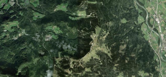
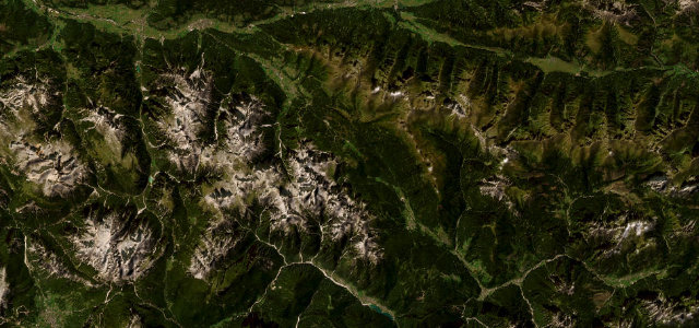
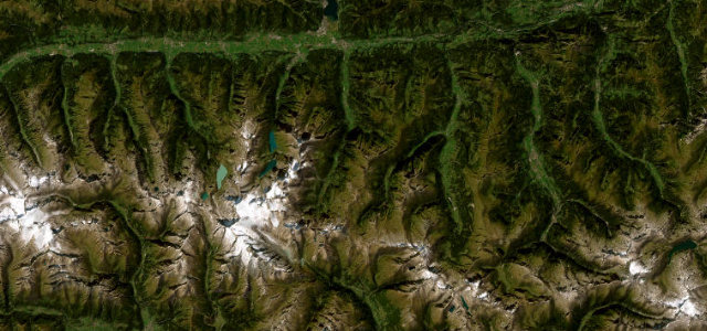
B107Bruck an der Großglocknerstraße to Heiligenblut am Großglockner
Austria’s grand toll road, sweeping past glaciers to 2,500 m.
The Grossglockner Hochalpenstraße is a purpose-built drivers' road, curling up through 36 numbered bends to the foot of Austria’s highest peak and the Pasterze glacier. Immaculately surfaced and gloriously scenic, it is a toll road that earns every euro, watch for marmots, tour coaches and weather that changes in minutes.
Austria’s grand alpine road, built to show off the mountains. And show off it does.
Why we picked it
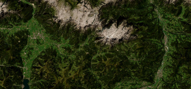
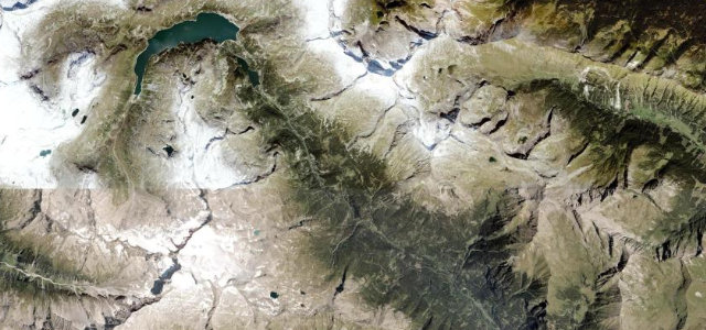
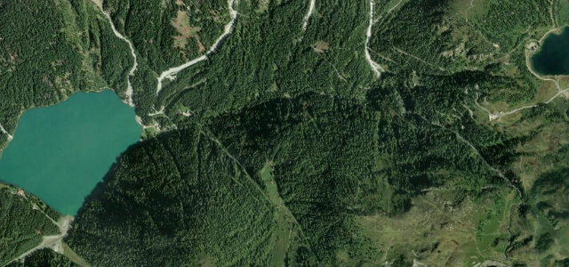
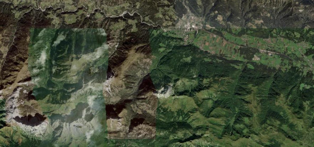
Scenery
Best seasons
In these collections
In these guides
Where it runs30.0 mi · point to point
Navigate to the start: Apple Maps · Google Maps
Character
More hairpins than 9 in 10 roads in the catalogue.
Corners
busiest around mile 16Elevation
under 4%4–8%over 8%752.8 – 2,507 mFrom the road
Points of interest3 stops
- HochmaisViewpoint14 mi in
- HochtorViewpoint21 mi in
- Kirche und GroßglocknerViewpoint30 mi in
Hazards
- Exposed high-altitude weather
- Tour coaches on the bends
- Toll road; closes overnight and in winter
Is Grossglockner High Alpine Road open? Typical season and live summit weather ›
Sources
“one of the most famous stretches of tarmac”
Verified route: mapped from real road geometry and fact-checked by a human editor. How roads get checked
Driving the Grossglockner High Alpine Road: quick answers
How long does it take to drive the Grossglockner High Alpine Road?
How difficult is the Grossglockner High Alpine Road to drive?
When is the best time to drive the Grossglockner High Alpine Road?
How much is the toll on the Grossglockner High Alpine Road?
Nearby roads
The closest great drives to Grossglockner High Alpine Road.