Carinthia · Austria
Villach Alpine Road
Villach to Bad Bleiberg
Toll road of 116 curves up the Dobratsch massif.
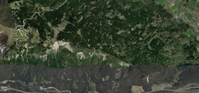
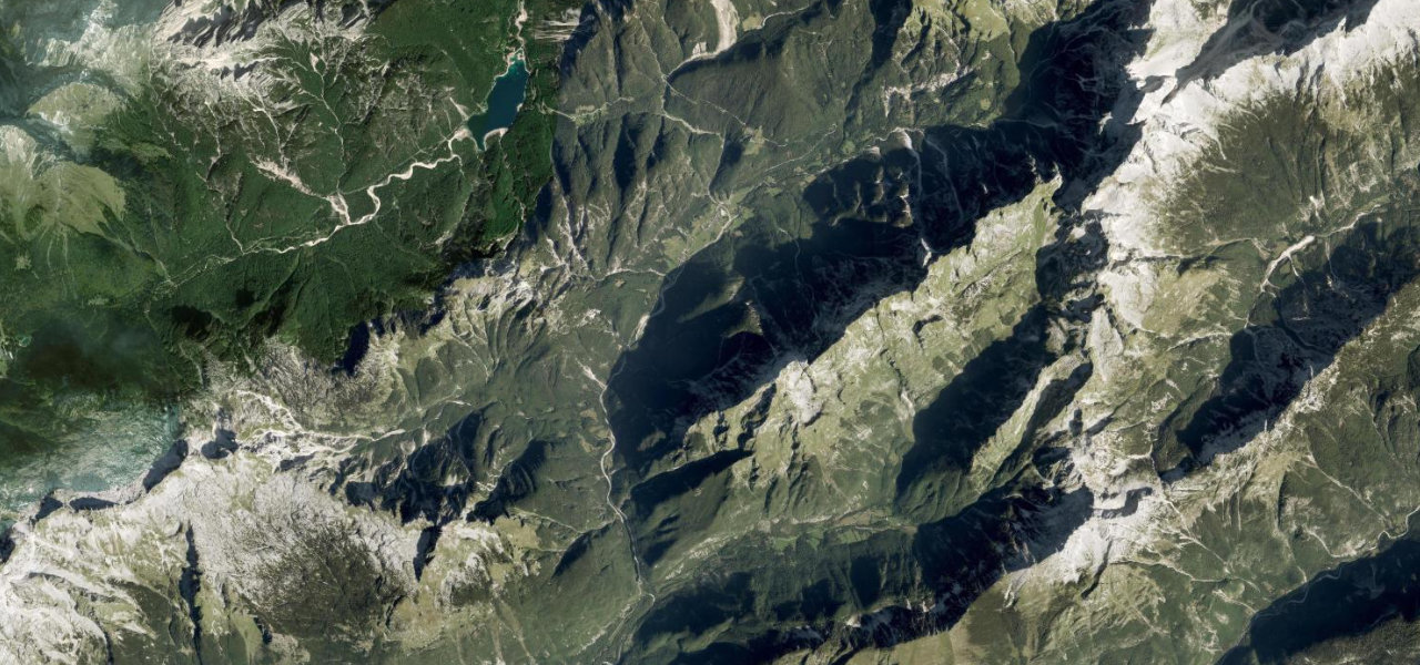
The Villacher Alpenstraße is a 16.5 km toll road climbing the Dobratsch massif above Villach in Carinthia, running from Möltschach to the Rosstratte viewpoint at about 1732 m. It is known for its 116 curves and sustained gradient that test a car’s brakes and cooling, with wide panoramas over the Drava valley and Julian Alps. Mind the relentless curves, the toll and reduced winter access.
Where it runs9.5 mi · point to point
VillachStart · Carinthia
Bad BleibergEnd · Carinthia
Navigate to the start: Apple Maps · Google Maps
Character
Corners116bends
Tightness6of 10
Max gradient10%≈ 1-in-10
Hairpins6tight bends
Climb1,101 mtotal ascent
Summit1,733 mhighest point of the line · 5,686 ft
Corners
busiest around mile 1Elevation
under 4%4–8%over 8%647.4 – 1,733 mFrom the road
Points of interest3 stops
- Stadt- und SeenblickViewpoint1.7 mi in
- DreiländerblickViewpoint6.0 mi in
- RosstratteViewpoint9.4 mi in
Hazards
- 116 continuous curves
- Toll road
- Winter access limits
Sources
“With 116 curves and a sustained 10% gradient, it is a technical test for a vehicle's cooling and braking systems.”
Verified route: mapped from real road geometry and fact-checked by a human editor. How roads get checked
Driving the Villach Alpine Road: quick answers
How long does it take to drive the Villach Alpine Road?
Villach Alpine Road runs 9.5 miles (15.3 km) and takes about 20 min to drive without stops.
How difficult is the Villach Alpine Road to drive?
We rate it moderate: 116 corners including 6 hairpins, a maximum gradient of 10%, and a tightness of 6 out of 10.
When is the best time to drive the Villach Alpine Road?
Spring and Summer and Autumn are best.
How much is the toll on the Villach Alpine Road?
€23.50 for a car and €16.50 for a motorcycle (2026). The operator calls this a one-way ticket and does not state a free return for cars. Night closures apply and motorcycles are barred 20:00 to 07:00. Always check the operator before you go, tolls change each season.
Nearby roads
The closest great drives to Villach Alpine Road.
Villach Alpine Road
DirectionsGet the app