Littoral (Goriška) · Slovenia
Predel Pass
203Bovec to Strmec na Predelu
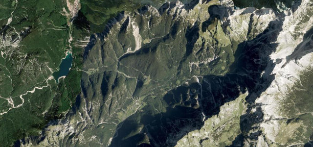
A dramatic Julian Alps border crossing beside emerald Lake Predil and the ruins of Fort Predel.
Road R1-203 climbs from the Soča Valley town of Bovec northward to the Italian border at Strmec na Predelu, tracing the flank of the Julian Alps past the village of Log pod Mangartom. The paved route winds through hairpin bends with steep ramps, delivering views of Mount Mangart to the north and Mount Kanin to the south, with Lake Predil and Fort Predel appearing near the summit. On the Italian side the road continues as Strada Statale 254 to Cave del Predil and Tarvisio, making it a natural loop combined with a return via the Vršič Pass.
Scenery
Where it runs
Navigate to the start: Apple Maps · Google Maps
Character
Elevation
under 4%4–8%over 8%506 – 1,190 mHazards
- steep gradients up to 13%
- narrow road with limited passing room
- sudden alpine weather changes
- seasonal closure risk outside May–October
See the typical season and live conditions for the high passes ›
Sources: Road geometry © OpenStreetMap contributors
Nearby roads
The closest great drives to Predel Pass.