Upper Carniola · Slovenia
Soriška Planina Road
909Petrovo Brdo to Zgornja Sorica
One of Slovenia’s highest Alpine pass roads, climbing from the Selca valley over Soriška Planina to Petrovo Brdo on the edge of the Julian Alps.
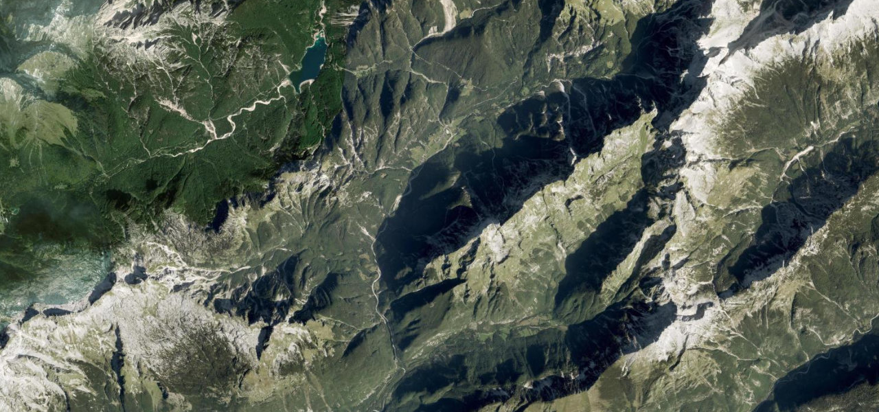
This is the quieter sibling to Vršič, a slow mountain road carrying ref 909 over the Soriška Planina pass at roughly 1,277 m. From the painters' village of Zgornja Sorica the asphalt tightens into a sequence of sharp curves through meadow and forest, opening to wide views toward Triglav and the Bohinj ridges before dropping to the Petrovo Brdo saddle and on toward Primorska. The Sorica side is the spectacular half, where pasture replaces trees and the road hangs above the valley. It is genuinely scenic rather than world-famous, a favourite of Slovenian cyclists and a useful link between Gorenjska and the Soča country. Recent sections have been resurfaced, though some stretches stay narrow. Mind the single-lane pinch points, livestock and shepherds on the open pasture sections, and a long winter closure with late-spring snow.
Scenery
Best seasons
In these collections
In these guides
Where it runs11.1 mi · point to point
Navigate to the start: Apple Maps · Google Maps
Character
Corners
busiest around mile 1Elevation
under 4%4–8%over 8%514.6 – 1,288 mFrom the road
Points of interest3 stops
- Bohinjsko sedloViewpoint7.9 mi in
- Pokopališče iz 1. sv. vojneLandmark0.2 mi in
- Soriška pečViewpoint8.6 mi in
Hazards
- Single-lane narrow sections where one car must give way
- Livestock and shepherds on open-pasture stretches
- Winter closure and late-spring snow or ice near the pass
Is Soriška Planina Road open? Typical season and live summit weather ›
Sources
“Die Kurvenkombinationen zumeist durch den Wald selbst machen Spaß, lediglich auf der Südrampe gibt es immer wieder Aussichten auf die umliegenden Berge.”
Verified route: mapped from real road geometry and fact-checked by a human editor. How roads get checked
Driving the Soriška Planina Road: quick answers
How long does it take to drive the Soriška Planina Road?
How difficult is the Soriška Planina Road to drive?
When is the best time to drive the Soriška Planina Road?
Nearby roads
The closest great drives to Soriška Planina Road.