Upper Carniola (Gorenjska) · Slovenia
Kokra Valley Road
210Preddvor to Zgornje Jezersko
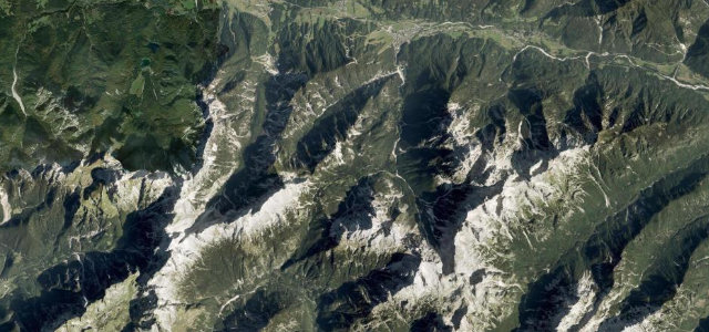
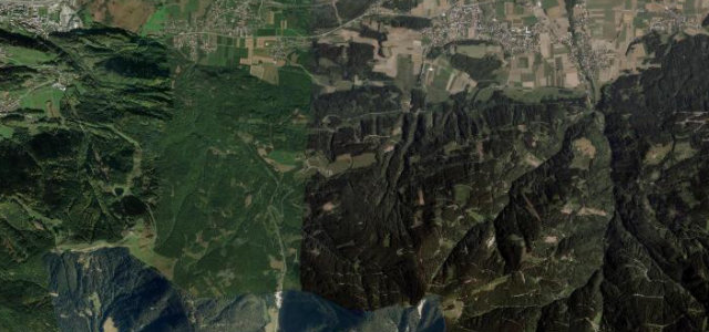
A sinuous valley road threading the Kokra gorge to an idyllic alpine village beneath the Kamnik-Savinja peaks.
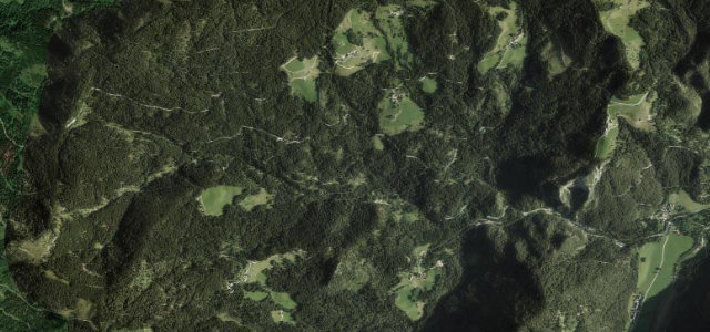
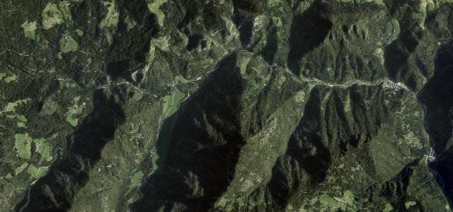
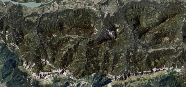
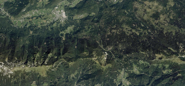
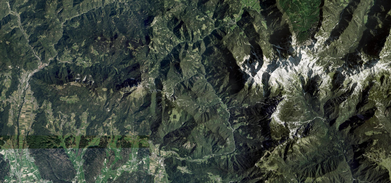
Road R1-210 follows the Kokra River northward from Preddvor through a progressively narrowing gorge, passing the scattered hamlet of Kokra before opening out into the high alpine basin of Jezersko below the Karawanks ridge on the Austrian border. The road is a favourite of motorcyclists for its rhythmic bends and riverside scenery, culminating at heart-shaped Lake Planšar, a glacial remnant set among meadows and dramatic peaks. Traffic is light and the paved surface well-maintained throughout the summer season.
Scenery
Best seasons
In these collections
In these guides
Kokra Valley Road on the map12.2 mi · point to point
Navigate to the start: Apple Maps · Google Maps
Character
Corners
busiest around mile 11Elevation
under 4%4–8%over 8%462.7 – 892.5 mFrom the road
Points of interest1 stop
- Jamna pečViewpoint1.7 mi in
Hazards
- Narrow gorge sections with limited visibility
- Oncoming campervan/bus traffic
- Potential rockfall in wet conditions
- Road closable in heavy snowfall (October–May)
Sources
“Running alongside the Kokra River, this road leads to one of the prettiest mountain villages right in the middle of the Kamnik–Savinja Alps.”
Verified route: mapped from real road geometry and fact-checked by a human editor. How roads get checked
Driving the Kokra Valley Road: quick answers
How long does it take to drive the Kokra Valley Road?
How difficult is the Kokra Valley Road to drive?
When is the best time to drive the Kokra Valley Road?
Nearby roads
The closest great drives to Kokra Valley Road.