Logar Valley · Slovenia
Solčava Panoramic Road
Podolševa to Solčava
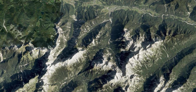
Eight kilometres along the ridges above Solčava, highland farm to highland farm, the Logar, Matkov and Robanov valleys laid out below. Steep, narrow and touching 18 percent.
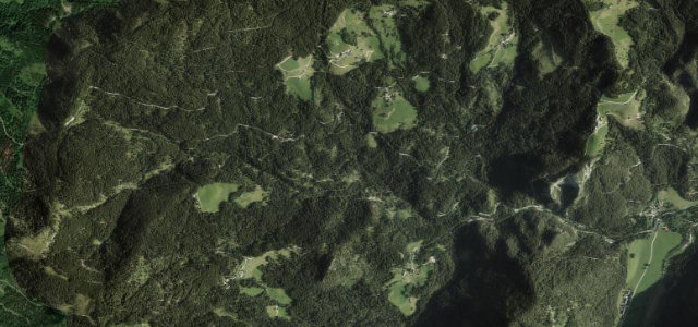
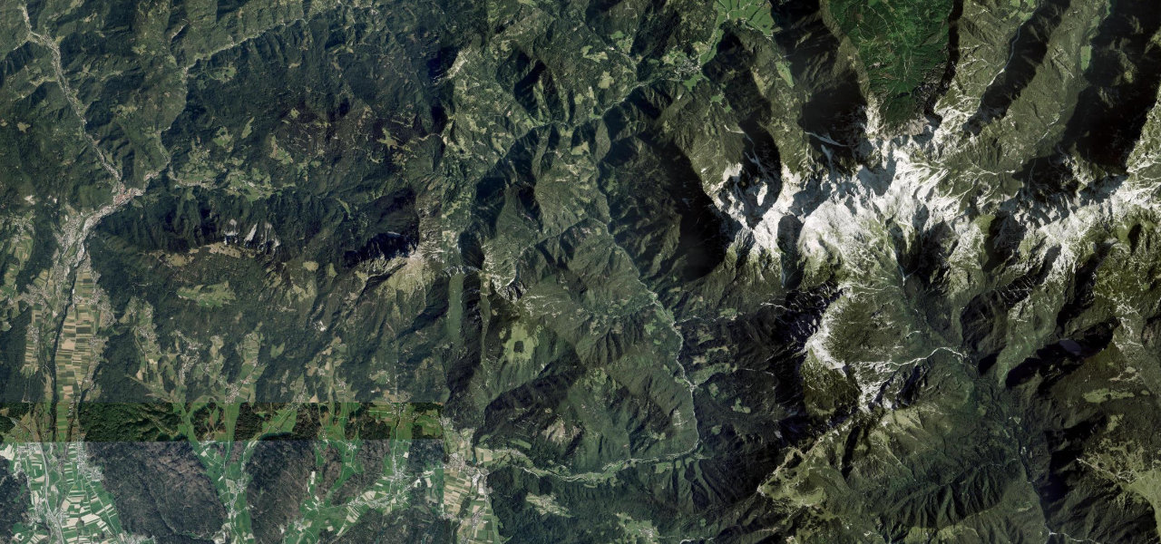
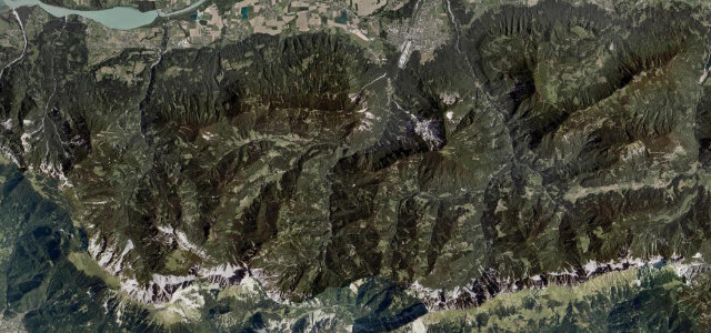
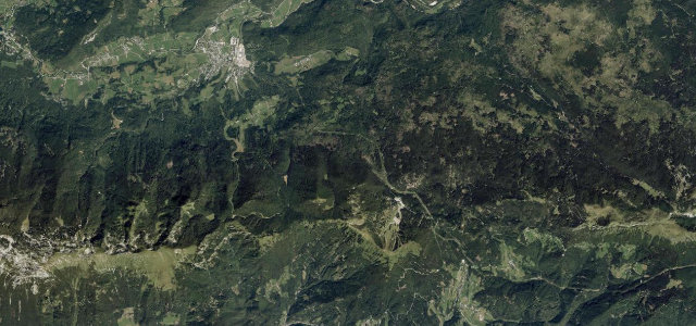
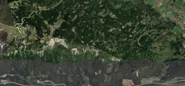
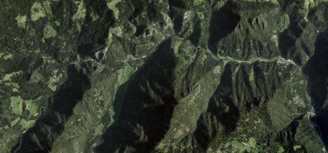
The Solčava Panoramic Road climbs from the Savinja valley onto the ridges above Solčava, passing highland farms with views over the Logar, Matkov and Robanov valleys. This panoramic high road runs some 8 kilometres past lookouts, one highlight of the wider Solčavska cesta network toward the Kamnik-Savinja Alps and the Austrian border. Mind the steep narrow farm lanes, gravel sections and sudden mountain weather.
Scenery
Best seasons
In these collections
In these guides
Where it runs4.9 mi · point to point
Navigate to the start: Apple Maps · Google Maps
Character
Steeper than 9 in 10 roads here in the catalogue.
Corners
busiest around mile 1Elevation
under 4%4–8%over 8%644.8 – 913.2 mFrom the road
Points of interest3 stops
- Ribča pečViewpoint3.8 mi in
- ČeloViewpoint1.5 mi in
- Klemenčja pečViewpoint3.4 mi in
Hazards
- Steep narrow farm lanes
- Loose gravel sections
- Rapidly changing weather
Sources
“Panoramic views of the Kamnik-Savinja Alps are among the finest in the country.”
Verified route: mapped from real road geometry and fact-checked by a human editor. How roads get checked
Driving the Solčava Panoramic Road: quick answers
How long does it take to drive the Solčava Panoramic Road?
How difficult is the Solčava Panoramic Road to drive?
When is the best time to drive the Solčava Panoramic Road?
Is the Solčava Panoramic Road fully paved?
Nearby roads
The closest great drives to Solčava Panoramic Road.