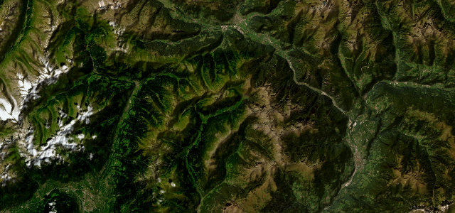
Tyrol · Austria
Ötztaler Gletscherstraße (Sölden Glacier Road)
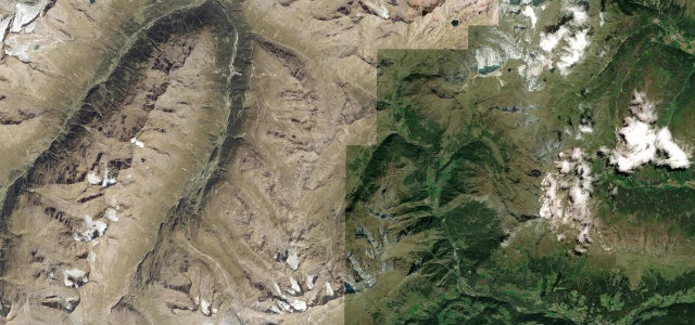
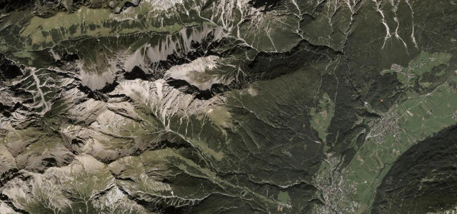
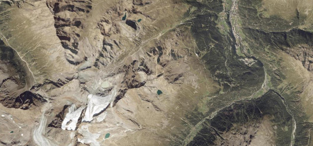
Sölden to Rettenbach/Tiefenbach glacier
Toll climb from Sölden to Europe’s second-highest paved road at 2830 m glacier.
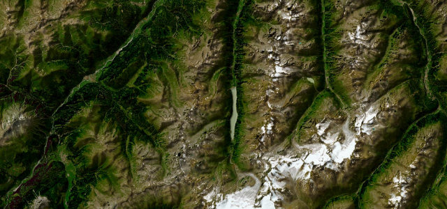
This 13 km toll road spurs off the valley at Sölden and grinds up the Rettenbach valley in tight switchbacks to the glacier ski stations, finishing through the Rosi-Mittermaier tunnel near 2830 m, often cited as the second-highest paved road in Europe. It is a dead-end ascent rather than a through-pass, so most of the appeal is the relentless climb and the high-alpine scenery rather than flow. Expect a steep, sustained gradient and thin air at the top. Mind the abrupt weather changes, snow and ice that can linger even in summer, and the seasonal/daily toll-gate opening hours.
Where it runs7.4 mi · point to point
Navigate to the start: Apple Maps · Google Maps
Character
Higher than 9 in 10 roads · the highest road in Austria, by our count in the catalogue.
Corners
busiest around mile 7Elevation
under 4%4–8%over 8%1,700.3 – 2,818.8 mFrom the road
Points of interest2 stops
- Seiter JöchlViewpoint7.1 mi in
- EinzeigerViewpoint5.2 mi in
Hazards
- Steep sustained gradient
- Late snow and ice
- Toll-gate opening hours
Sources
“every curve of the road offers a new breathtaking view”
Verified route: mapped from real road geometry and fact-checked by a human editor. How roads get checked
Driving the Ötztaler Gletscherstraße (Sölden Glacier Road): quick answers
How long does it take to drive the Ötztaler Gletscherstraße (Sölden Glacier Road)?
How difficult is the Ötztaler Gletscherstraße (Sölden Glacier Road) to drive?
When is the best time to drive the Ötztaler Gletscherstraße (Sölden Glacier Road)?
Is there a toll on the Ötztaler Gletscherstraße (Sölden Glacier Road)?
Nearby roads
The closest great drives to Ötztaler Gletscherstraße (Sölden Glacier Road).