Trentino-Alto Adige · Italy
Jaufenpass
SS44Sterzing – Vipiteno to St. Leonhard in Passeier – San Leonardo in Passiria
A high South Tyrol pass of stacked hairpins.
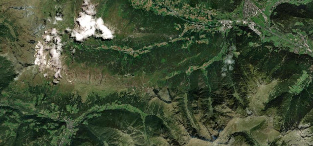
The SS44 over the Jaufenpass at 2,094 m links Vipiteno and the Passeier valley, one of the highest pass roads in South Tyrol, climbing through forest into open alpine meadow on a relentless stack of hairpins. Demanding and exposed; mind the motorbikes, the gradient, and snow outside high summer.
Scenery
MountainForest
Best seasons
SpringSummerAutumn
In these collections
Where it runs22.8 mi · point to point
Sterzing – VipitenoStart · Trentino-Alto Adige
St. Leonhard in Passeier – San Leonardo in PassiriaEnd · Trentino-Alto Adige
Navigate to the start: Apple Maps · Google Maps
Character
Corners50bends
Tightness8of 10
Max gradient11%≈ 1-in-9
Hairpins18tight bends
Climb1,171 mtotal ascent
Summit2,094.7 mhighest point of the line · 6,872 ft
Corners
busiest around mile 18Elevation
under 4%4–8%over 8%670.9 – 2,094.7 mFrom the road
Points of interest3 stops
- Jaufenpass – Passo di Monte GiovoViewpoint11 mi in
- Rinner SattelViewpoint12 mi in
- PlatschjochViewpoint7.7 mi in
Hazards
- Relentless hairpins
- Motorbikes in numbers
- Snow outside high summer
Sources
“The road is very challenging, with many curves, hairpin turns, and narrow parts.”
Verified route: mapped from real road geometry and fact-checked by a human editor. How roads get checked
Driving the Jaufenpass: quick answers
How long does it take to drive the Jaufenpass?
Jaufenpass runs 22.8 miles (37 km) and takes about 53 min to drive without stops.
How difficult is the Jaufenpass to drive?
We rate it expert: 50 corners including 18 hairpins, a maximum gradient of 11%, and a tightness of 8 out of 10.
When is the best time to drive the Jaufenpass?
Spring and Summer and Autumn are best.
Nearby roads
The closest great drives to Jaufenpass.
Jaufenpass
DirectionsGet the app