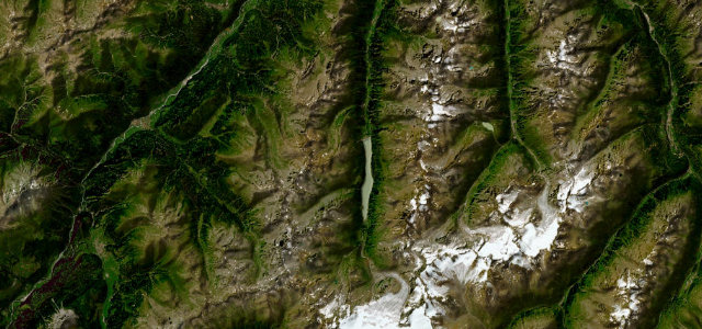
Tyrol · Austria
Kaunertal Glacier Road
Feichten to Kaunertal Glacier
Tyrolean toll road climbing to a glacier at about 2750 m.
The Kaunertaler Gletscherstraße is a 26 km dead-end toll road in Tyrol, climbing from Feichten in the Kaunertal valley to the glacier edge at roughly 2750 m. It gains about 1500 m over 29 hairpin bends and ends at the Karlesjoch cable car, making it one of the longest glacier access roads in the Alps. Mind the high-altitude weather, the toll and that it is a there-and-back dead end.
Where it runs15.8 mi · point to point
FeichtenStart · Tyrol
Kaunertal GlacierEnd · Tyrol
Navigate to the start: Apple Maps · Google Maps
Character
Corners29bends
Tightness7of 10
Max gradient12%≈ 1-in-8
Hairpins22tight bends
Climb1,493 mtotal ascent
Summit2,747.4 mhighest point of the line · 9,014 ft
Corners
busiest around mile 11Elevation
under 4%4–8%over 8%1,307.6 – 2,747.4 mFrom the road
Points of interest3 stops
- Blockgletscher/GepatschfernerViewpoint11 mi in
- VisholoViewpoint12 mi in
- Rifflbach WasserfälleViewpoint12 mi in
Hazards
- High-altitude weather and ice
- Toll road
- Dead-end there-and-back
Sources
“The road seems to leave the earth behind. It's impressive for its engineering as for its stunning vistas.”
Verified route: mapped from real road geometry and fact-checked by a human editor. How roads get checked
Driving the Kaunertal Glacier Road: quick answers
How long does it take to drive the Kaunertal Glacier Road?
Kaunertal Glacier Road runs 15.8 miles (25 km) and takes about 35 min to drive without stops.
How difficult is the Kaunertal Glacier Road to drive?
We rate it demanding: 29 corners including 22 hairpins, a maximum gradient of 12%, and a tightness of 7 out of 10.
When is the best time to drive the Kaunertal Glacier Road?
Summer is best.
Is there a toll on the Kaunertal Glacier Road?
Toll road.
Nearby roads
The closest great drives to Kaunertal Glacier Road.
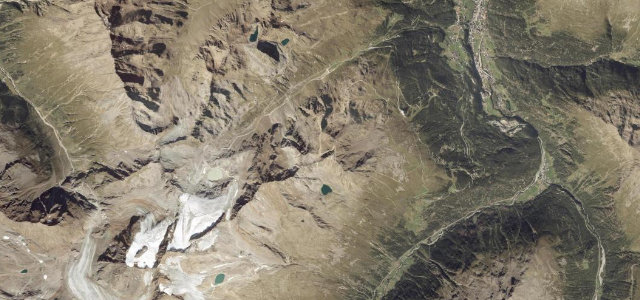
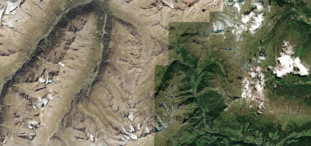
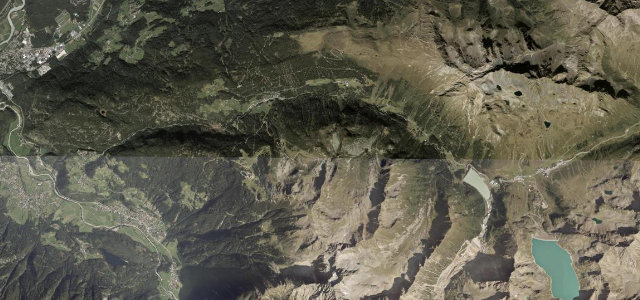
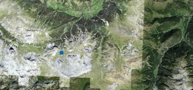
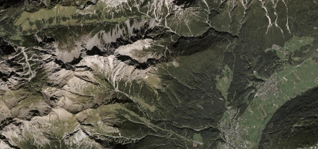
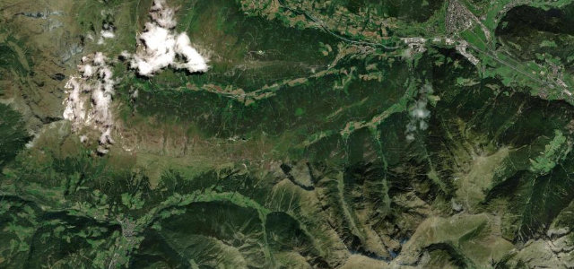
Kaunertal Glacier Road
DirectionsGet the app