Tyrol · Austria
Kühtaisattel
L237L13Oetzerau to Kühtai
Tyrol pass to one of Austria’s highest villages at 2,017 m.
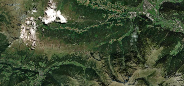
The Kühtaisattel links the Ötztal at Oetz with the Sellraintal, climbing the wild Nedertal past Ochsengarten to a 2,017 m saddle beside Kühtai, one of Austria’s highest villages. The Oetz side (L237) rises through forest and open alpine pasture before meeting the L13 Sellraintalstraße descending toward Gries im Sellrain. Gradients reach about 16%, the road has tight hairpins and exposed high-alpine sections, and snow or sudden weather can strike even in summer.
Where it runs10.5 mi · point to point
Navigate to the start: Apple Maps · Google Maps
Character
Corners
busiest around mile 4Elevation
under 4%4–8%over 8%878.9 – 2,018.1 mFrom the road
Points of interest3 stops
- HexenplatteViewpoint0.3 mi in
- KühtaisattelViewpoint10 mi in
- Baudenkmal LängentalLandmark8.9 mi in
Hazards
- Gradients up to ~16% with tight hairpins
- Exposed high-alpine sections with sudden weather and possible snow
- Popular with cyclists and motorcyclists in summer
Sources
“The drive, with curves and hairpin turns, is an absolute must for road bikers in Tirol. Steep sections make it a real challenge.”
Verified route: mapped from real road geometry and fact-checked by a human editor. How roads get checked
Driving the Kühtaisattel: quick answers
How long does it take to drive the Kühtaisattel?
How difficult is the Kühtaisattel to drive?
When is the best time to drive the Kühtaisattel?
Nearby roads
The closest great drives to Kühtaisattel.