Bavaria · Germany
Oberjoch Jochstraße
B308Bad Hindelang to Unterjoch
Germany’s bendiest road, up to the Allgäu’s high saddle.
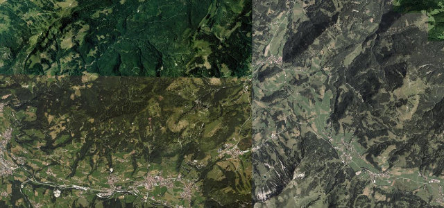
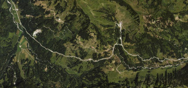
The B308 'Jochstraße' climbs from Bad Hindelang to the Oberjoch saddle in a famous run of stacked hairpins, said to be the most bends of any road in Germany, into the high Allgäu Alps. Tight and busy with bikes; mind the motorcyclists, the coaches, and ice in the shaded bends.
Where it runs7.2 mi · point to point
Bad HindelangStart · Bavaria
UnterjochEnd · Bavaria
Navigate to the start: Apple Maps · Google Maps
Character
Corners40bends
Tightness7of 10
Max gradient10%≈ 1-in-10
Hairpins5tight bends
Climb339 mtotal ascent
Summit1,156.3 mhighest point of the line · 3,794 ft
Corners
busiest around mile 3Elevation
under 4%4–8%over 8%817 – 1,156.3 mFrom the road
Points of interest3 stops
- Aussichtspunkt Kanzel am Oberjoch – Paß 1100 mViewpoint2.7 mi in
- Wasserscheide Wertach/IllerViewpoint4.2 mi in
- Aussicht IfenblickViewpoint3.3 mi in
Hazards
- Motorcyclists in numbers
- Coaches on the hairpins
- Ice in shaded bends
Sources
“With ten hairpin bends, 106 curves stretching over 20 kilometres and over 300 metres of altitude, this is Germany's most winding road!”
Verified route: mapped from real road geometry and fact-checked by a human editor. How roads get checked
Driving the Oberjoch Jochstraße: quick answers
How long does it take to drive the Oberjoch Jochstraße?
Oberjoch Jochstraße runs 7.2 miles (11.6 km) and takes about 16 min to drive without stops.
How difficult is the Oberjoch Jochstraße to drive?
We rate it demanding: 40 corners including 5 hairpins, a maximum gradient of 10%, and a tightness of 7 out of 10.
When is the best time to drive the Oberjoch Jochstraße?
Spring and Summer and Autumn are best.
Nearby roads
The closest great drives to Oberjoch Jochstraße.
Oberjoch Jochstraße
DirectionsGet the app