Vorarlberg · Austria
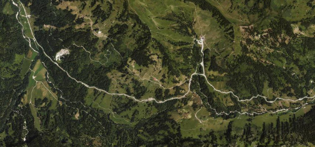
Hochtannbergpass
L200Warth to Rehmen
A high Vorarlberg pass between Warth and the Bregenzerwald.
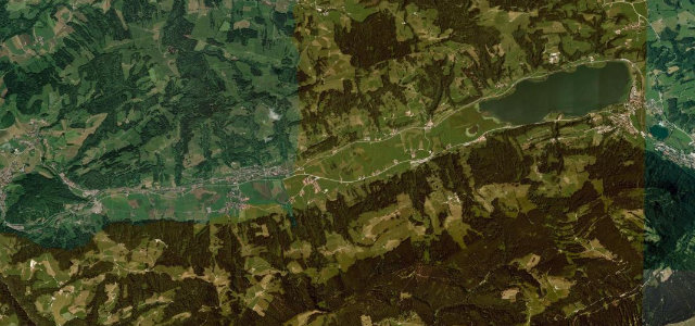
The Bregenzerwaldstraße over the Hochtannberg at 1,676 m links Warth and the Bregenzerwald, a sweeping high road through alpine meadow beneath the Widderstein, often snow-walled into early summer. Flowing and scenic; mind the coaches, the cyclists, and late-season snow on the top.
Where it runs13.5 mi · point to point
WarthStart · Vorarlberg
RehmenEnd · Vorarlberg
Navigate to the start: Apple Maps · Google Maps
Character
Corners30bends
Tightness5of 10
Max gradient9%≈ 1-in-11
Hairpins4tight bends
Descent902 mtotal descent
Summit1,676.1 mhighest point of the line · 5,499 ft
Corners
busiest around mile 4Elevation
under 4%4–8%over 8%809.2 – 1,676.1 mFrom the road
Points of interest3 stops
- SimmelViewpoint3.1 mi in
- Franz Michael FelderLandmark12 mi in
- BirchabüelViewpointat the start
Hazards
- Late-season snow on top
- Coaches and cyclists
- Quick alpine weather
Sources
“The route comprises many turns and steep sections, reaching a maximum gradient of 14% on some ramps.”
Verified route: mapped from real road geometry and fact-checked by a human editor. How roads get checked
Driving the Hochtannbergpass: quick answers
How long does it take to drive the Hochtannbergpass?
Hochtannbergpass runs 13.5 miles (22 km) and takes about 27 min to drive without stops.
How difficult is the Hochtannbergpass to drive?
We rate it demanding: 30 corners including 4 hairpins, a maximum gradient of 9%, and a tightness of 5 out of 10.
When is the best time to drive the Hochtannbergpass?
Summer and Autumn are best.
Nearby roads
The closest great drives to Hochtannbergpass.
Hochtannbergpass
DirectionsGet the app