Vorarlberg · Austria
Silvretta High Alpine Road
B188Partenen to Gaschurn
A graceful toll road of stacked hairpins to the Bielerhöhe.
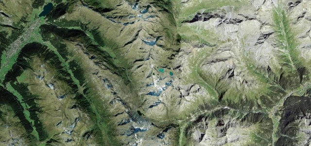
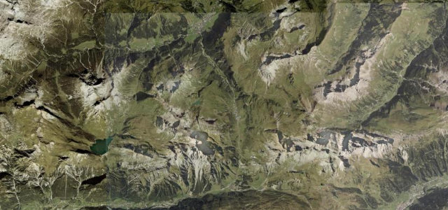
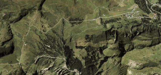
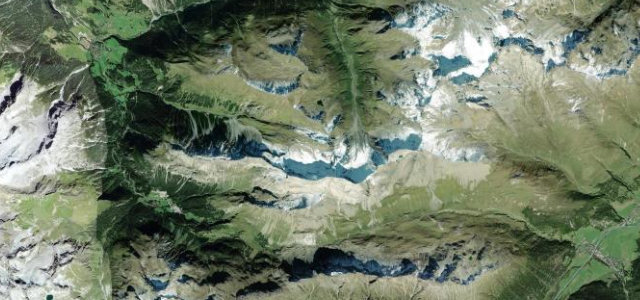
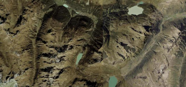
The B188 Silvretta-Hochalpenstraße climbs from Partenen in the Montafon on a flight of broad hairpins to the Bielerhöhe at 2,032 m, with a reservoir and the Silvretta glaciers beyond. The Partenen side has been closed to all traffic since a 2024 rockfall and is not expected to reopen until summer 2030; until then the Bielerhöhe is reachable only from the Galtür side.
Smooth, rhythmic hairpins unspool past glittering reservoirs and snow-streaked peaks. Up in that thin air, every downshift feels earned.
Why we picked it
Where it runs9.5 mi · point to point
Navigate to the start: Apple Maps · Google Maps
Character
Corners
busiest around mile 2Elevation
under 4%4–8%over 8%1,016.2 – 2,037.7 mFrom the road
Points of interest4 stops
- BielerhöheLandmark9.5 mi in
- Silvretta-StauseeViewpoint9.5 mi in
- MadlenerhausFood and drink9.1 mi in
- Vermunt-StauseeViewpoint6.2 mi in
Hazards
- Closed and gated in winter
- Cyclists on the hairpins
- Weather at altitude
See the typical season and live conditions for the high passes ›
Sources
“one of the best driving roads in Austria. This road is seriously like a racetrack!”
Verified route: mapped from real road geometry and fact-checked by a human editor. How roads get checked
Driving the Silvretta High Alpine Road: quick answers
How long does it take to drive the Silvretta High Alpine Road?
How difficult is the Silvretta High Alpine Road to drive?
When is the best time to drive the Silvretta High Alpine Road?
Nearby roads
The closest great drives to Silvretta High Alpine Road.