Vorarlberg · Austria
Furkajoch
L51Damüls to Laterns
Narrow 1,761 m Vorarlberg pass between Damüls and the Rhine valley.
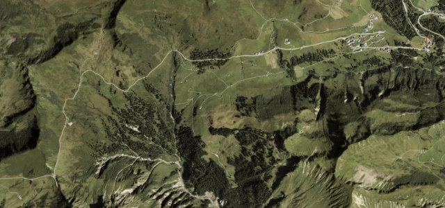
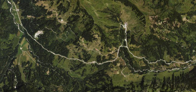
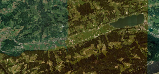
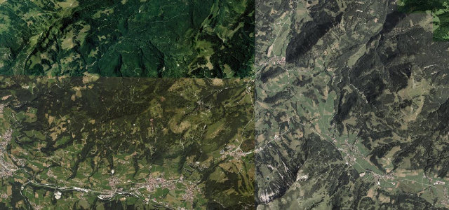
The Furkajoch (1,761 m) connects the Bregenzerwald near Damüls with the Frutz valley near Laterns and Rankweil, a quiet alpine crossing popular with motorcyclists. The road is fully paved but turns notably narrow on the upper sections where cars struggle to pass, with gradients up to about 14% and two uphill tunnels on the Laterns side. It is closed in winter, and the tight, walled sections demand care when meeting oncoming traffic.
Where it runs3.7 mi · point to point
DamülsStart · Vorarlberg
LaternsEnd · Vorarlberg
Navigate to the start: Apple Maps · Google Maps
Character
Corners25bends
Tightness7of 10
Max gradient14%≈ 1-in-7
Hairpins2tight bends
Climb309 mtotal ascent
Summit1,759.9 mhighest point of the line · 5,774 ft
Corners
busiest around mile 1Elevation
under 4%4–8%over 8%1,451.2 – 1,759.9 mFrom the road
Points of interest3 stops
- FurkajochViewpoint3.7 mi in
- BettlerjöchleViewpoint3.4 mi in
- Damülser FurkaViewpoint1.6 mi in
Hazards
- Very narrow upper sections where cars cannot easily pass
- Gradients up to ~14% with tunnels on the Laterns approach
- Closed in winter
Sources
“The road through the summit is fully paved, yet steep and narrow in parts.”
Verified route: mapped from real road geometry and fact-checked by a human editor. How roads get checked
Driving the Furkajoch: quick answers
How long does it take to drive the Furkajoch?
Furkajoch runs 3.7 miles (6.0 km) and takes about 8 min to drive without stops.
How difficult is the Furkajoch to drive?
We rate it demanding: 25 corners including 2 hairpins, a maximum gradient of 14%, and a tightness of 7 out of 10.
When is the best time to drive the Furkajoch?
Spring and Summer and Autumn are best. The road closes seasonally over winter; check it has reopened before setting out.
Nearby roads
The closest great drives to Furkajoch.
Furkajoch
DirectionsGet the app