Bavaria · Germany
Riedbergpass
OA9Obermaiselstein to Balderschwang
Germany’s highest paved mountain pass, deep in the Allgäu Alps.
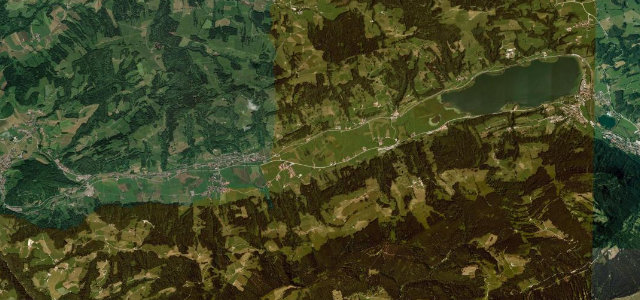
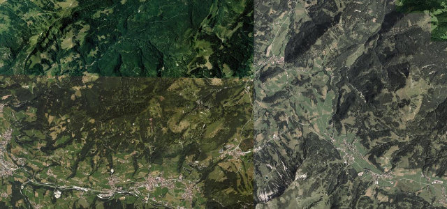
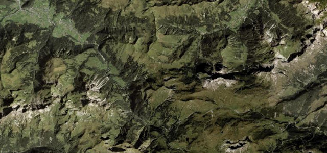
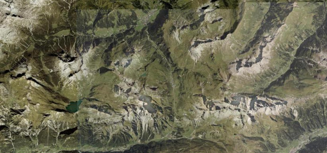
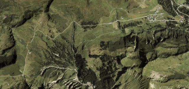
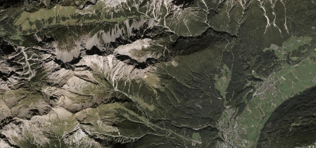
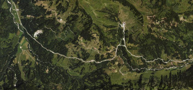
The Riedbergpass crosses the Allgäu Alps between Obermaiselstein and Balderschwang, its road topping out around 1,400 m as the highest drivable mountain pass in Germany. Steep ramps reach about 16% as the route winds up through forest and high pasture near the Austrian border. The gradient and tight bends make it hard going for underpowered or heavily laden vehicles, snow and ice can close it in winter, and it is popular with cyclists and motorcyclists in season.
Where it runs3.2 mi · point to point
Navigate to the start: Apple Maps · Google Maps
Character
Corners
busiest around mile 1Elevation
under 4%4–8%over 8%1,106.4 – 1,416.3 mFrom the road
Points of interest2 stops
- RiedbergpassViewpoint1.0 mi in
- SchönbergjochViewpoint1.4 mi in
Hazards
- Sustained ~16% gradients on tight bends
- Winter snow and ice closures
- Cyclists and motorcyclists in season
See the typical season and live conditions for the high passes ›
Sources
“On the other side, from Fischen to the top, the grade is simply stunning: 19%.”
Verified route: mapped from real road geometry and fact-checked by a human editor. How roads get checked
Driving the Riedbergpass: quick answers
How long does it take to drive the Riedbergpass?
How difficult is the Riedbergpass to drive?
When is the best time to drive the Riedbergpass?
Nearby roads
The closest great drives to Riedbergpass.