Tyrol · Austria
Timmelsjoch
B186SS44bisSölden to Moos in Passeier – Moso in Passiria
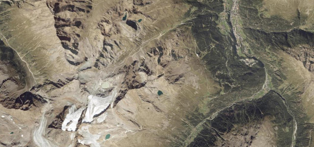
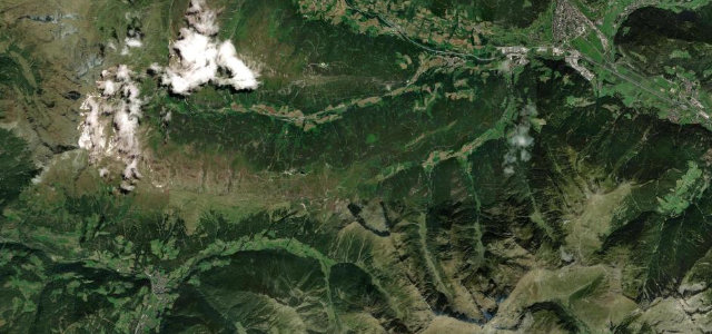
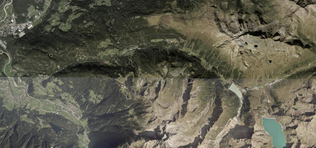
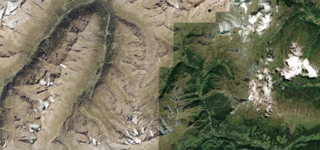
Hairpins climb from green Ötztal meadows into bare, snow-streaked high country, tipping you over from Austria into Italy at 2,474 metres. It’s a toll road, and the tarmac shows you where the money goes.
The Timmelsjoch Hochalpenstraße climbs from Hochgurgl in the Ötztal over the crest into Italy’s Passeier valley, a smooth, dramatic toll road to 2,474 m with sweeping ramps and a stark high summit. Open only in summer; mind the toll, the altitude, and the descent on the Italian side.
Hairpins climb out of green meadows into bare, snow-streaked high country, then tip you over from Austria into Italy. Smooth tarmac, relentless rhythm.
Why we picked it
Scenery
Best seasons
In these collections
In these guides
Where it runs22.7 mi · point to point
Navigate to the start: Apple Maps · Google Maps
Character
Corners
busiest around mile 13Elevation
under 4%4–8%over 8%995.4 – 2,474.8 mFrom the road
Points of interest2 stops
- GranatViewpoint22 mi in
- Timmelsjoch – Passo RomboViewpoint8.6 mi in
Hazards
- High altitude
- Closed and gated outside summer
- Long descent on the Italian side
Is Timmelsjoch open? Typical season and live summit weather ›
Sources
“certainly one of the most beautiful”
Verified route: mapped from real road geometry and fact-checked by a human editor. How roads get checked
Driving the Timmelsjoch: quick answers
How long does it take to drive the Timmelsjoch?
How difficult is the Timmelsjoch to drive?
When is the best time to drive the Timmelsjoch?
How much is the toll on the Timmelsjoch?
Nearby roads
The closest great drives to Timmelsjoch.