Styria · Austria
Sölkpass
L704Mitterberg-Sankt Martin to Schöder
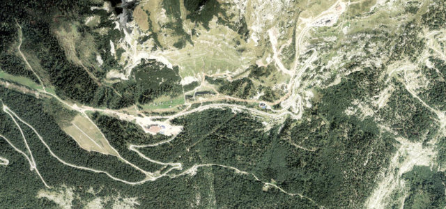
Historic Niedere Tauern pass over 1,788 m through Styria.
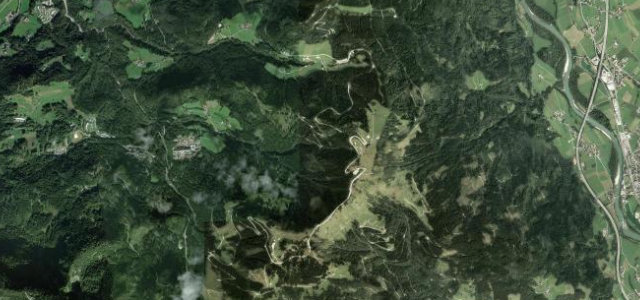
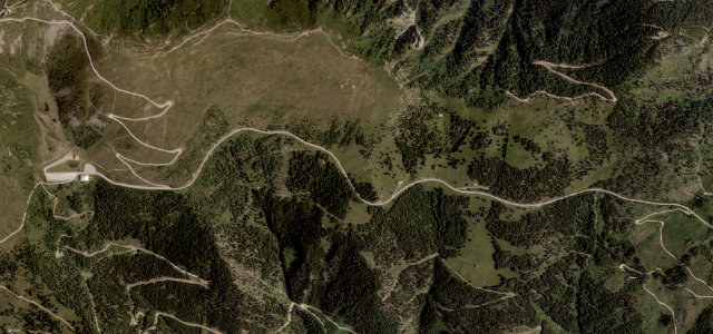
The Sölkpass crosses the Niedere Tauern at 1,788 m, linking Stein an der Enns in the Ennstal with Sankt Nikolai im Sölktal and Schöder in the Murtal, a route used since the Bronze Age and rebuilt as a paved two-lane road in 1954. The L704 'Erzherzog-Johann-Straße' winds through the Sölktäler nature park, following alpine streams with hairpins and gradients up to about 15% on the southern ramp. The road is narrow in places, closed in winter, and storm damage has forced lengthy closures in the past.
Where it runs21.6 mi · point to point
Navigate to the start: Apple Maps · Google Maps
Character
Corners
busiest around mile 4Elevation
under 4%4–8%over 8%665.9 – 1,789.9 mFrom the road
Points of interest3 stops
- SölkpassViewpoint22 mi in
- Gedenktafel Andreas LachbergerLandmark8.5 mi in
- NageleckViewpoint22 mi in
Hazards
- Narrow sections with hairpins, up to ~15% gradient
- Closed in winter and vulnerable to storm damage
- Remote pass with limited services
Sources
“Running along an idyllic alpine landscape, the drive offers a magnificent mountain panorama.”
Verified route: mapped from real road geometry and fact-checked by a human editor. How roads get checked
Driving the Sölkpass: quick answers
How long does it take to drive the Sölkpass?
How difficult is the Sölkpass to drive?
When is the best time to drive the Sölkpass?
Nearby roads
The closest great drives to Sölkpass.