Alsace · France
Route des Vins d’Alsace (Obernai to Kaysersberg)
D35D1bisObernai to Kaysersberg
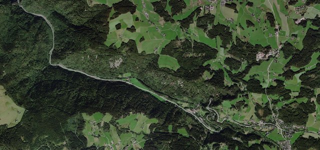
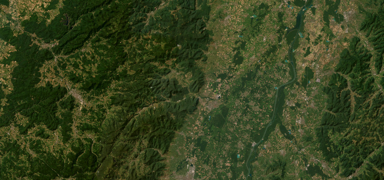
A 55 km middle section of the Alsace Wine Route, launched in 1953, running along the Vosges foothills from Obernai to Kaysersberg through Barr, Andlau, Dambach-la-Ville and Ribeauvillé and past the ramparts of Riquewihr.
From Obernai, whose golden-hued houses, ramparts and market square Michelin singles out, the route heads south through Heiligenstein to Barr, known for its sylvaner and gewurztraminer, then Mittelbergheim and Andlau. It continues through Itterswiller, Nothalten and Blienschwiller and in through the gates of Dambach-la-Ville, then past Dieffenthal, Scherwiller and Châtenois to Kintzheim, where Michelin suggests the turn up to the Haut-Koenigsbourg. After Orschwiller, Saint-Hippolyte, Rorschwihr and Bergheim comes Ribeauvillé, which Michelin calls the pearl of the vineyard, then Zellenberg and the road past Riquewihr, ringed by ramparts and little changed since the 16th century. The last stretch runs through Mittelwihr, Bennwihr and Sigolsheim to Kientzheim, with its wine museum, and ends at the medieval town of Kaysersberg. The roads are well kept and the driving relaxed, with the vineyard cycle route running alongside.
Scenery
Best seasons
In these collections
Route des Vins d’Alsace (Obernai to Kaysersberg) on the map35.6 mi · point to point
Navigate to the start: Apple Maps · Google Maps
Character
Corners
busiest around mile 5Elevation
under 4%4 to 8%over 8%180 to 285 mPoints of interest5 stops
- Porte de BlienschwillerTown gate of Dambach-la-Ville, where the route enters through the walls.15 mi in
- Banc de l’impératriceNamed viewpoint beside the road between Dieffenthal and Scherwiller.17 mi in
- RiquewihrVillage ringed by ramparts and, Michelin says, little changed since the 16th century.30 mi in
- Musée du Vignoble et des Vins d’AlsaceWine museum in Kientzheim that Michelin suggests for a short stop.35 mi in
- Château de KaysersbergCastle above the medieval town of Kaysersberg, where the drive ends.36 mi in
Hazards
- Summer crowds in the best-known villages
- Christmas market crowds in Kaysersberg and nearby villages
- Wine festivals fill the villages from August to mid-October
Sources
“Once you’re there, you’re on a 170-kilometre road to discovery.”
“Voici peut-être la plus fameuse route gastronomique de France !”
“Créée il y a presque 70 ans, c’est tout simplement la doyenne des routes des vins !”
Route traced from OpenStreetMap, with its stats measured from that line. How the roads are mapped
Driving the Route des Vins d’Alsace (Obernai to Kaysersberg): quick answers
How long does it take to drive the Route des Vins d’Alsace (Obernai to Kaysersberg)?
How difficult is the Route des Vins d’Alsace (Obernai to Kaysersberg) to drive?
When is the best time to drive the Route des Vins d’Alsace (Obernai to Kaysersberg)?
Nearby roads
The closest great drives to Route des Vins d’Alsace (Obernai to Kaysersberg).