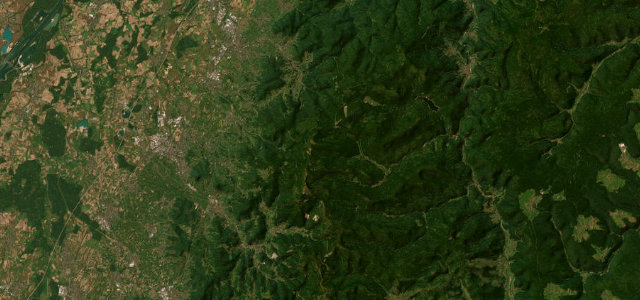
Black Forest, Baden-Württemberg · Germany
Kniebis Pass
B28Oppenau to Freudenstadt
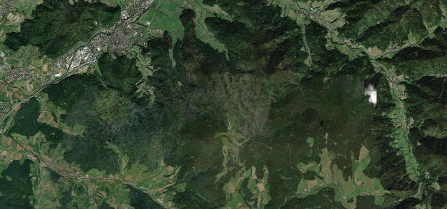
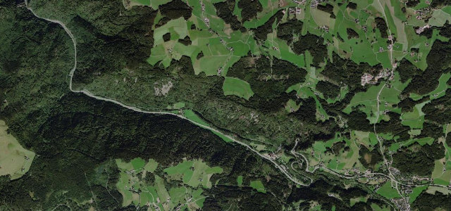
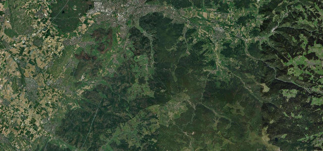
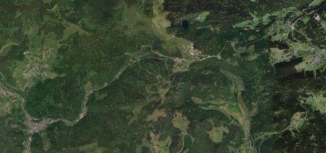
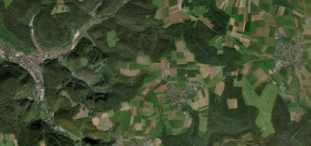
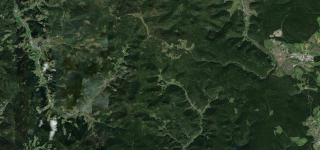
The B28's climb over the Kniebis links Oppenau in the Rench valley with Freudenstadt across the northern Black Forest crest, a beech-and-fir mountain road that pairs the tight serpentines of the Griesbacher Steige above Bad Griesbach with open plateau running up top.
From Oppenau the B28 runs up the Rench valley through Bad Peterstal-Griesbach, then attacks the crest as the Griesbacher Steige, a sequence of genuinely tight, low-visibility hairpins above Bad Griesbach that gain several hundred metres to the Kniebis village and the Alexanderschanze junction, where it meets the Schwarzwaldhochstrasse. From there it eases into faster, sweeping bends across the wooded plateau down into Freudenstadt. It is one of the older excursion roads in the region, busy at weekends with cars and motorcycles, and the Griesbach climb in particular rewards smooth, patient driving. Mind the very tight blind hairpins on the Griesbacher Steige, frequent oncoming bikes cutting the line, and damp shaded sections that stay greasy after rain.
Where it runs19.2 mi · point to point
Navigate to the start: Apple Maps · Google Maps
Character
The most hairpins in Germany, by our count in the catalogue.
Corners
busiest around mile 9Elevation
under 4%4–8%over 8%273.3 – 969.4 mFrom the road
Points of interest2 stops
- AlexanderschanzeViewpoint12 mi in
- Gedenkstein Matthias ErzbergerLandmark8.4 mi in
Hazards
- Tight blind hairpins on the Griesbacher Steige
- Oncoming motorcycles cutting the apex
- Greasy shaded tarmac after rain
Sources
“Turn right on the B500 to B28 (Direction Oberkirch) and start a 7km hairpin section that will end in Bad Griesbach.”
Verified route: mapped from real road geometry and fact-checked by a human editor. How roads get checked
Driving the Kniebis Pass: quick answers
How long does it take to drive the Kniebis Pass?
How difficult is the Kniebis Pass to drive?
When is the best time to drive the Kniebis Pass?
Nearby roads
The closest great drives to Kniebis Pass.