Black Forest, Baden-Württemberg · Germany
Höllental
B31Buchenbach-Himmelreich to Hinterzarten
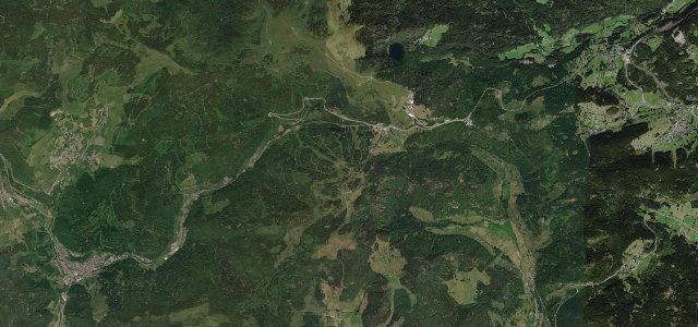
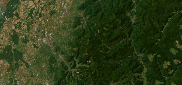
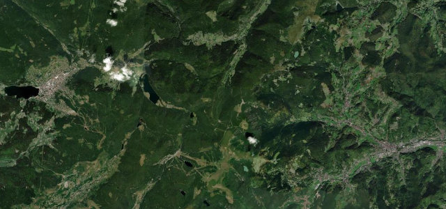
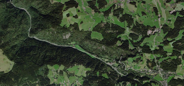
The B31 plunges through the Höllental, Hell’s Valley, southeast of Freiburg, squeezing past the Hirschsprung gorge where rock walls rise over a hundred metres before climbing the Falkensteig serpentines up to Hinterzarten and the Titisee.
From the valley mouth at Himmelreich the B31 runs into the deep, narrow Höllental, the classic gateway from Freiburg into the High Black Forest. It hauls up the Falkensteig switchbacks, then threads the dramatic Hirschsprung, the gorge’s narrowest pinch beneath cliffs over a hundred metres high marked by the bronze leaping-stag statue, before reaching the plateau at Hinterzarten near the Titisee. The scenery is gorge-and-forest spectacular and the road carries the Höllentalbahn railway alongside, but it is also a busy main artery. Mind heavy through-traffic and frequent tunnels in the gorge, the tight Falkensteig hairpins on the climb, and slow lorries and tourist coaches that bunch traffic in the narrow section.
Scenery
Best seasons
In these collections
Where it runs5.1 mi · point to point
Navigate to the start: Apple Maps · Google Maps
Character
Corners
busiest around mile 4Elevation
under 4%4–8%over 8%568.7 – 889.8 mFrom the road
Points of interest3 stops
- Großer Ravenna-WasserfallLandmark3.9 mi in
- KuckucksuhrLandmark2.7 mi in
- Breitnauer Bächle-WasserfallLandmark1.6 mi in
Hazards
- Heavy through-traffic and gorge tunnels
- Tight Falkensteig hairpins on the climb
- Slow lorries and coaches in the narrows
Sources
“the federal highway B 31 winds downhill, partly in spectacular loops”
Verified route: mapped from real road geometry and fact-checked by a human editor. How roads get checked
Driving the Höllental: quick answers
How long does it take to drive the Höllental?
How difficult is the Höllental to drive?
When is the best time to drive the Höllental?
Nearby roads
The closest great drives to Höllental.