Baden-Württemberg · Germany
Feldberg Pass
B317Todtnau to Hinterzarten
Hairpin climb to the Black Forest’s highest peak.
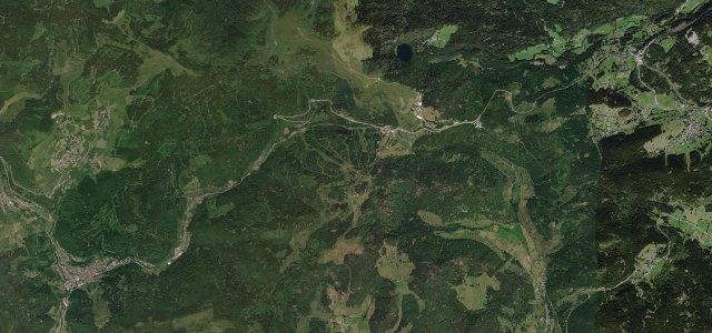
The B317 links Todtnau in the Wiesental with Titisee over the Feldberg, the highest summit in the Black Forest. The south-western approach climbs roughly 480 metres in about seven kilometres through a sequence of hairpin bends. Mind the winter snow, ski-season traffic and motorcyclists in summer.
Where it runs9.7 mi · point to point
TodtnauStart · Baden-Württemberg
HinterzartenEnd · Baden-Württemberg
Navigate to the start: Apple Maps · Google Maps
Character
Corners18bends
Tightness6of 10
Max gradient10%≈ 1-in-10
Hairpins1tight bends
Climb601 mtotal ascent
Summit1,243.5 mhighest point of the line · 4,080 ft
Corners
busiest around mile 4Elevation
under 4%4–8%over 8%642.9 – 1,243.5 mFrom the road
Points of interest3 stops
- FeldbergpassViewpoint6.1 mi in
- oberer Gustbach WasserfallLandmark4.8 mi in
- Fahler WasserfallLandmark4.3 mi in
Hazards
- Snow and ice in winter
- Heavy ski-season traffic
- Motorcyclists on the bends
Sources
“The southwestern approach is characterized by hairpin bends and climbs 483 metres over a distance of about seven kilometres”
Verified route: mapped from real road geometry and fact-checked by a human editor. How roads get checked
Driving the Feldberg Pass: quick answers
How long does it take to drive the Feldberg Pass?
Feldberg Pass runs 9.7 miles (15.6 km) and takes about 20 min to drive without stops.
How difficult is the Feldberg Pass to drive?
We rate it moderate: 18 corners including 1 hairpins, a maximum gradient of 10%, and a tightness of 6 out of 10.
When is the best time to drive the Feldberg Pass?
Spring and Summer and Autumn are best.
Nearby roads
The closest great drives to Feldberg Pass.
Feldberg Pass
DirectionsGet the app