Vosges / Haut-Rhin · France
Col de la Schlucht
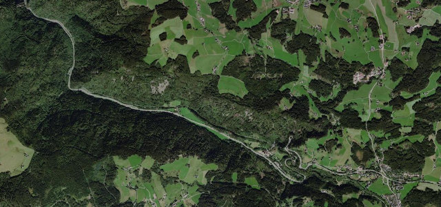
D417Gérardmer to Munster
A historic forested pass linking Gérardmer and Munster across the high Vosges.
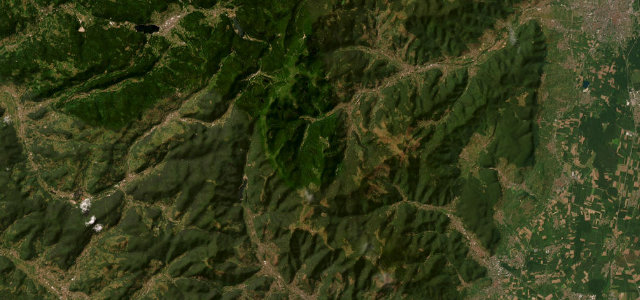
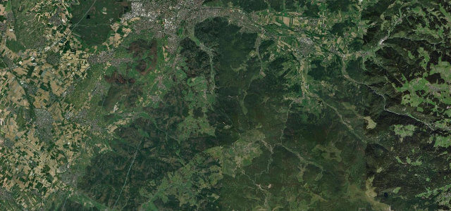
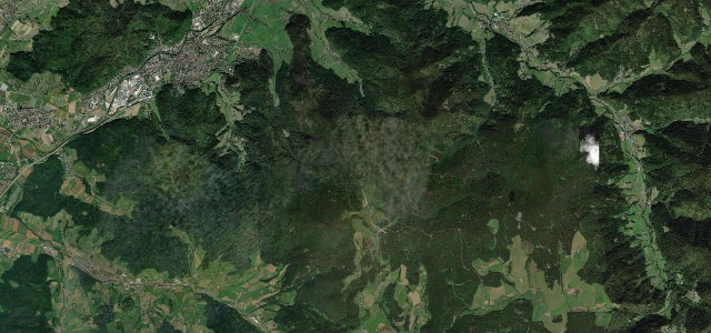
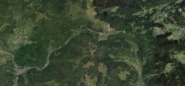
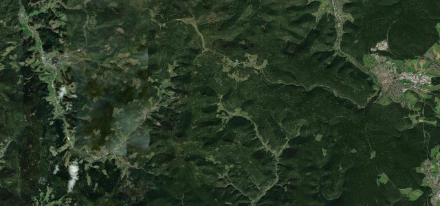
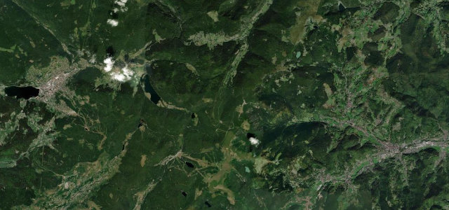
The D417 climbs from the lake town of Gérardmer through dense Vosges forest to the Col de la Schlucht, then drops east through the Munster valley, a road carved in part by tunnelling under Napoléon III. The gradients are gentle and the curves long and rhythmic, making it a relaxed mountain drive rather than a white-knuckle one, with broad views from the ridge near the Route des Crêtes. It carries plenty of tourist traffic and has appeared in the Tour de France. Mind the slow camper and coach traffic, fog rolling over the col, and winter ice and snow.
Where it runs20.2 mi · point to point
Navigate to the start: Apple Maps · Google Maps
Character
Corners
busiest around mile 17Elevation
under 4%4–8%over 8%381.9 – 1,148.9 mFrom the road
Points of interest2 stops
- Borne Vauthier Demarcation StoneLandmark18 mi in
- Col de la SchluchtViewpoint9.2 mi in
Hazards
- Slow camper and coach traffic
- Fog over the col
- Winter ice and snow
Sources
“The landscapes are amazing there and the drive to the pass is very impressive.”
Verified route: mapped from real road geometry and fact-checked by a human editor. How roads get checked
Driving the Col de la Schlucht: quick answers
How long does it take to drive the Col de la Schlucht?
How difficult is the Col de la Schlucht to drive?
When is the best time to drive the Col de la Schlucht?
Nearby roads
The closest great drives to Col de la Schlucht.