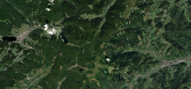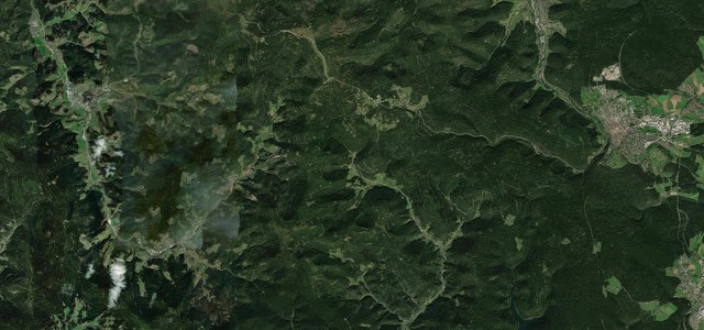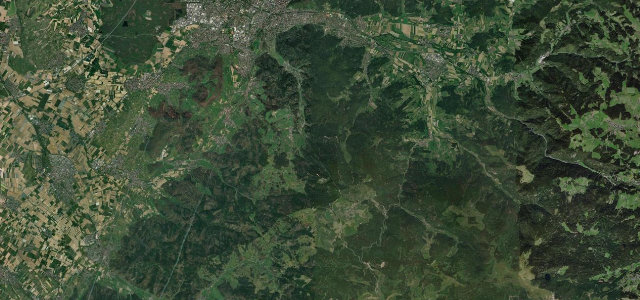
Baden-Württemberg · Germany
Schauinslandstraße
L 124Freiburg im Breisgau to Schauinsland summit
Legendary 172-corner hillclimb road from Freiburg up the 1284 m Schauinsland, topping out at the 1200 m pass.
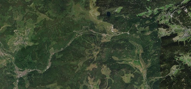
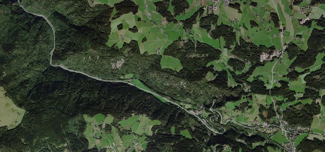
The L124 Schauinslandstraße winds from Freiburg-Günterstal and Horben up the local mountain to a col near 1200 m, a road famous as the Freiburg-Schauinsland hillclimb course raced from 1925 into the 1980s by names like Caracciola, Stirling Moss and Hans Stuck. It is tree-lined and corner-rich, with around 172 bends and gradients touching 12 percent on the lower ramp. It is a tourist and cycling honeypot, so expect company. Mind the cyclists climbing the narrow lower section, tour buses near the summit, and tight blind corners under the canopy.
On the road
The road runs from Freiburg im Breisgau to the Schauinsland summit. It opened in 1896 as a road for hauling timber, gained asphalt in 1932 and was widened in 1964. The full L124 carries on to the Notschrei pass, 13.9 miles (22.3 km) from Freiburg. Many of the bends have their own names, such as the Diesendobel and Gießhübel curves.
The old hillclimb course covered 7.5 miles (12 km) from Horben to the pass and rose 780 metres. The Schauinslandbahn gondola starts in Horben and has run since 1930. At 2.2 miles (3.6 km) it is said to be the longest in Germany. From the summit area, clear days bring views to the Vosges and the Swiss Alps, often at their best during autumn inversions. A show mine recalls more than 700 years of silver, lead and zinc mining.
Motorbikes may not use the road on weekends and public holidays between 1 April and 1 November, a rule in place since 1984. The road had a major renovation in 2024, and roadworks closed it for long spells in 2026, so check before you go.
Schauinslandstraße on the map13.0 mi · point to point
Navigate to the start: Apple Maps · Google Maps
Character
Corners
busiest around mile 5Elevation
under 4%4 to 8%over 8%291 to 1,203 mFrom the road
Points of interest2 stops
- Notschrei-ObeliskLandmark13 mi in
- Gedenkstein Prof. Dr. E. ZentgrafLandmark0.4 mi in
Hazards
- Climbing cyclists on narrow ramp
- Tour buses near summit
- Blind tree-lined corners
Sources
“Freiburg-Schauinsland is one of the most spectacular hillclimbs in Germany and, in its day, was famous for being one of the most difficult.”
Route traced from OpenStreetMap, with its stats measured from that line. How the roads are mapped
Routes for iPhone carries Schauinslandstraße offline, with live weather and a 7 day forecast.
Nearby roads
The closest great drives to Schauinslandstraße.