Grand Est · France
Route des Crêtes
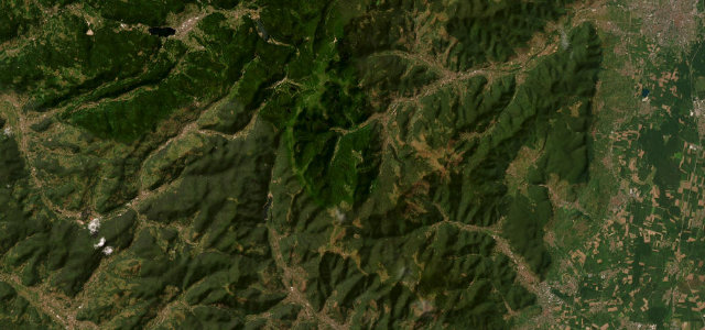
D430D431D417Stosswihr to Soultz-Haut-Rhin
A WWI ridge road along the crest of the Vosges.
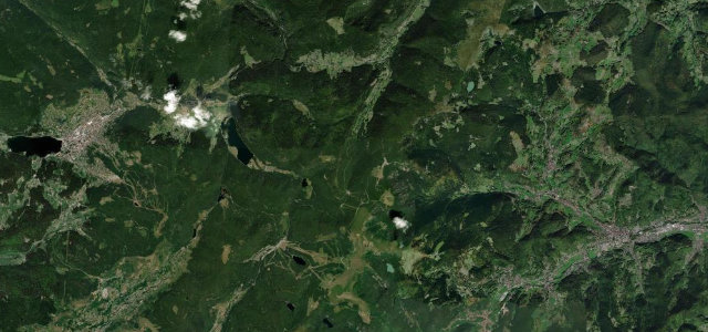
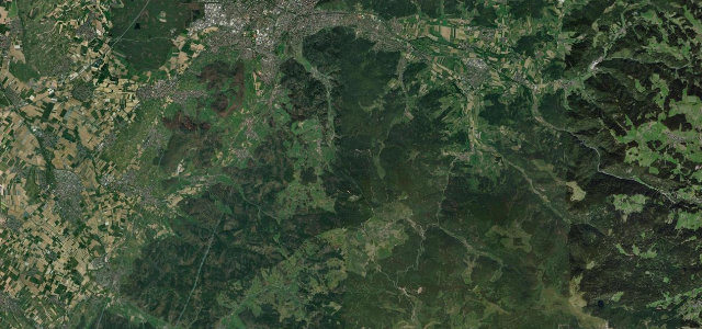
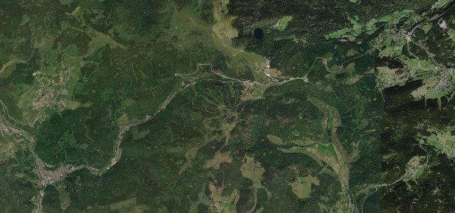
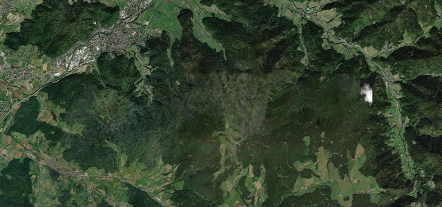
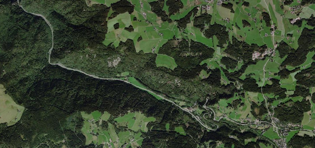
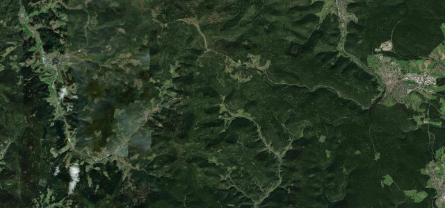
The D430 Route des Crêtes runs the high crest of the Vosges, a strategic road built in the First World War, linking the balloons and passes with long views over Alsace and, on a clear day, the Alps. Flowing and scenic; mind the cyclists, the cattle on the open ridge, and fog that closes in fast.
Where it runs18.5 mi · point to point
StosswihrStart · Grand Est
Soultz-Haut-RhinEnd · Grand Est
Navigate to the start: Apple Maps · Google Maps
Character
Corners30bends
Tightness4of 10
Max gradient7%≈ 1-in-14
Hairpins3tight bends
Climb659 mtotal ascent
Summit1,408.5 mhighest point of the line · 4,621 ft
Corners
busiest around mile 18Elevation
under 4%4–8%over 8%1,145.1 – 1,408.5 mFrom the road
Points of interest3 stops
- Chalet Hôtel Du Grand BallonFood and drink18 mi in
- Col d’HahnenbrunnenViewpoint11 mi in
- Col du HaagViewpoint17 mi in
Hazards
- Cattle on the open ridge
- Cyclists on the climbs
- Fast-closing fog
Sources
“affords its travelers a up-close view of the lush hardwood trees and firs that have made this mountain range such a popular retreat. On clear days, a view of Germany's Black Forest is visible on the horizon.”
Verified route: mapped from real road geometry and fact-checked by a human editor. How roads get checked
Driving the Route des Crêtes: quick answers
How long does it take to drive the Route des Crêtes?
Route des Crêtes runs 18.5 miles (30 km) and takes about 35 min to drive without stops.
How difficult is the Route des Crêtes to drive?
We rate it moderate: 30 corners including 3 hairpins, a maximum gradient of 7%, and a tightness of 4 out of 10.
When is the best time to drive the Route des Crêtes?
Spring and Summer and Autumn are best.
Nearby roads
The closest great drives to Route des Crêtes.
Route des Crêtes
DirectionsGet the app